Pictured Rocks: What’s Worth It and What to Skip (2026)
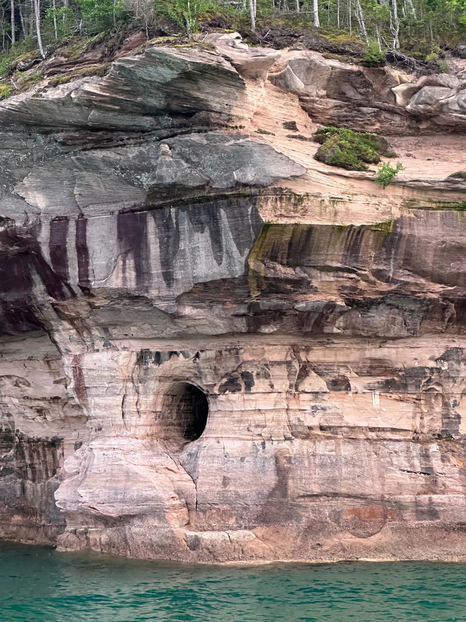
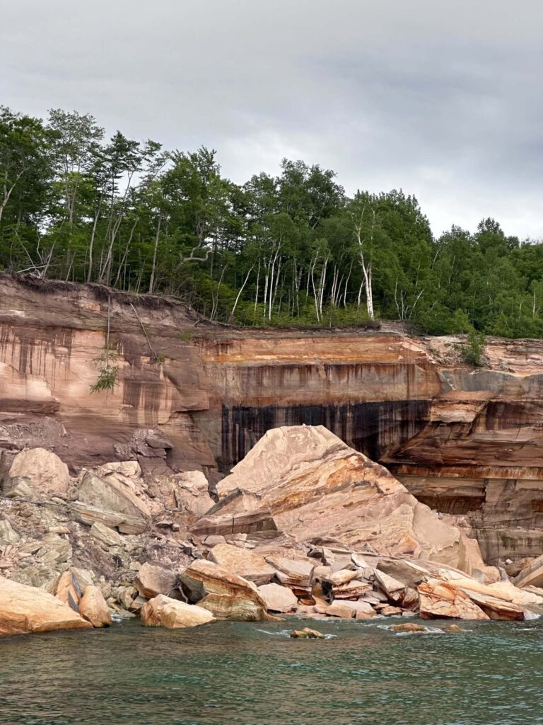
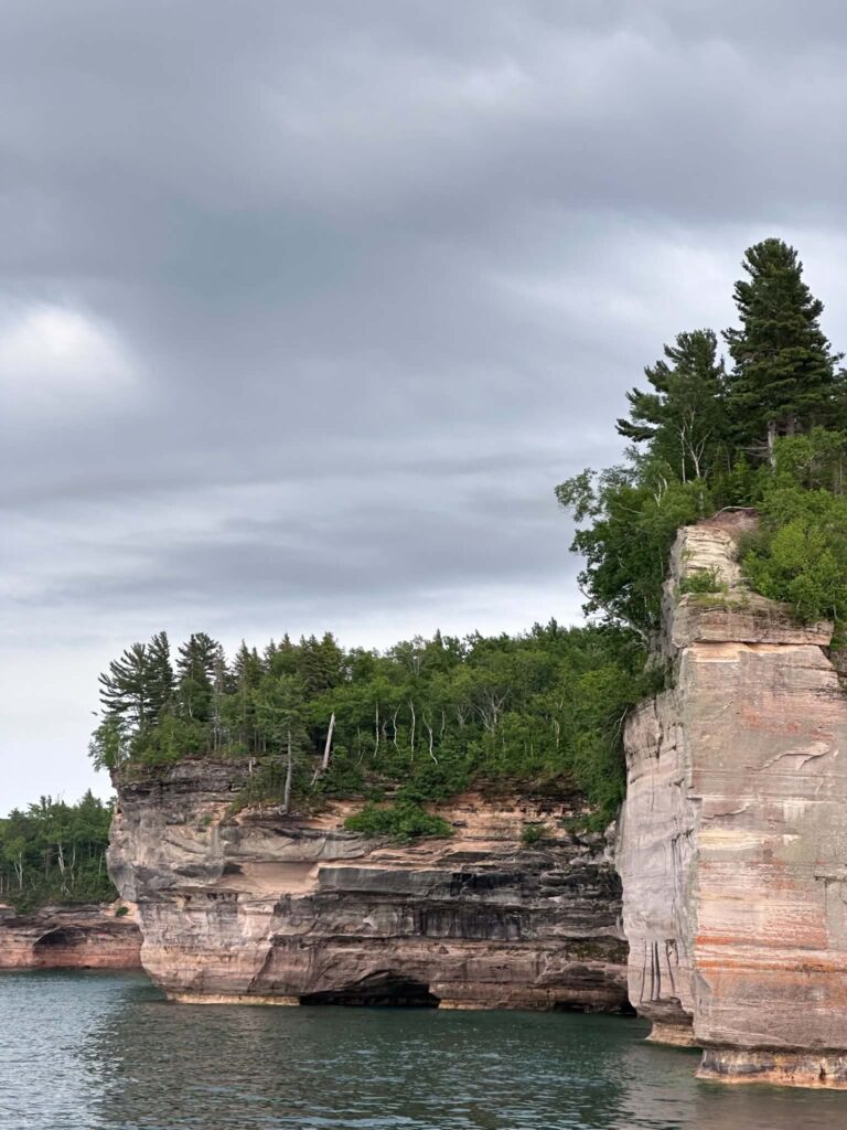
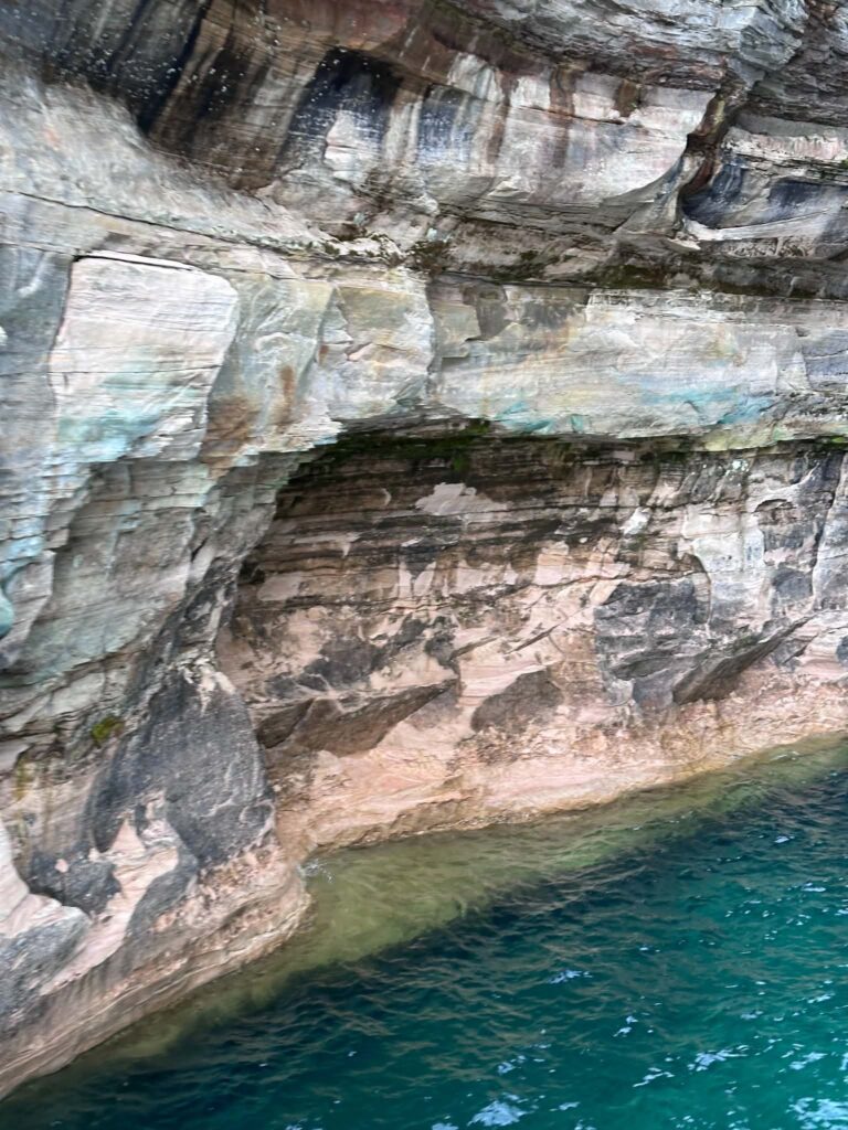
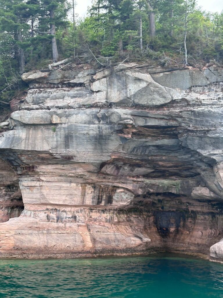
I have stood at the edge of Miners Castle and watched the afternoon light change the colors of the cliffs below — iron reds deepening, copper blues going almost green as the sun dropped. I have been on the cruise when Spray Falls appeared around a bend and dropped 70 feet straight into Lake Superior. Pictured Rocks does not look entirely real until you are standing in it.
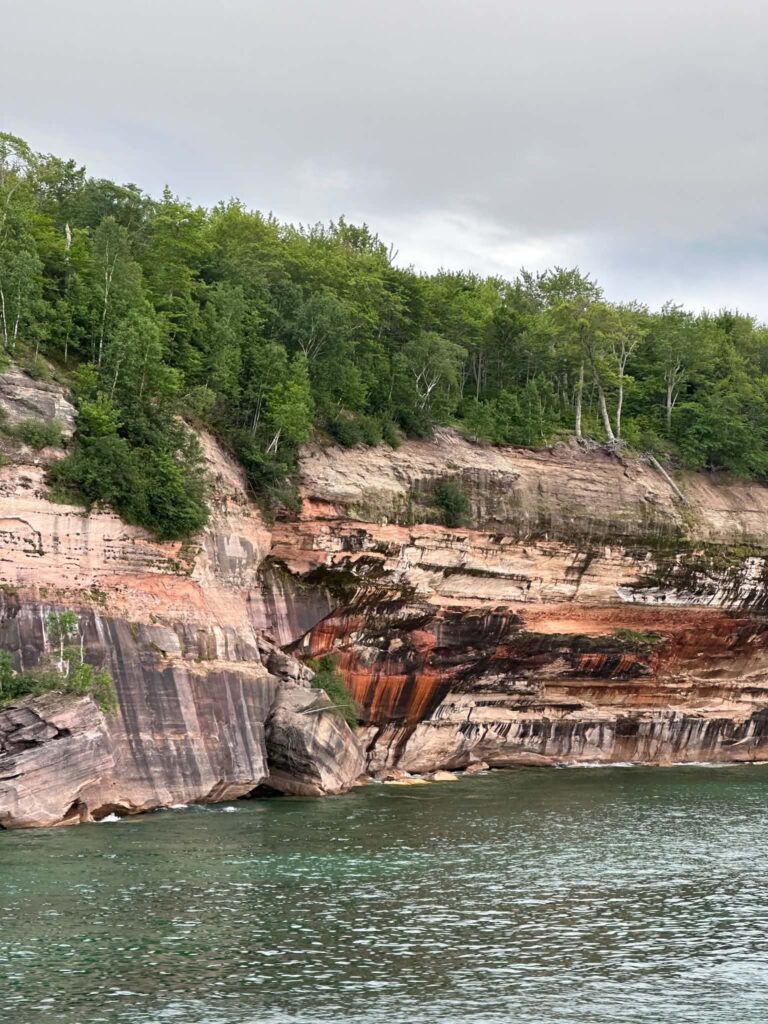
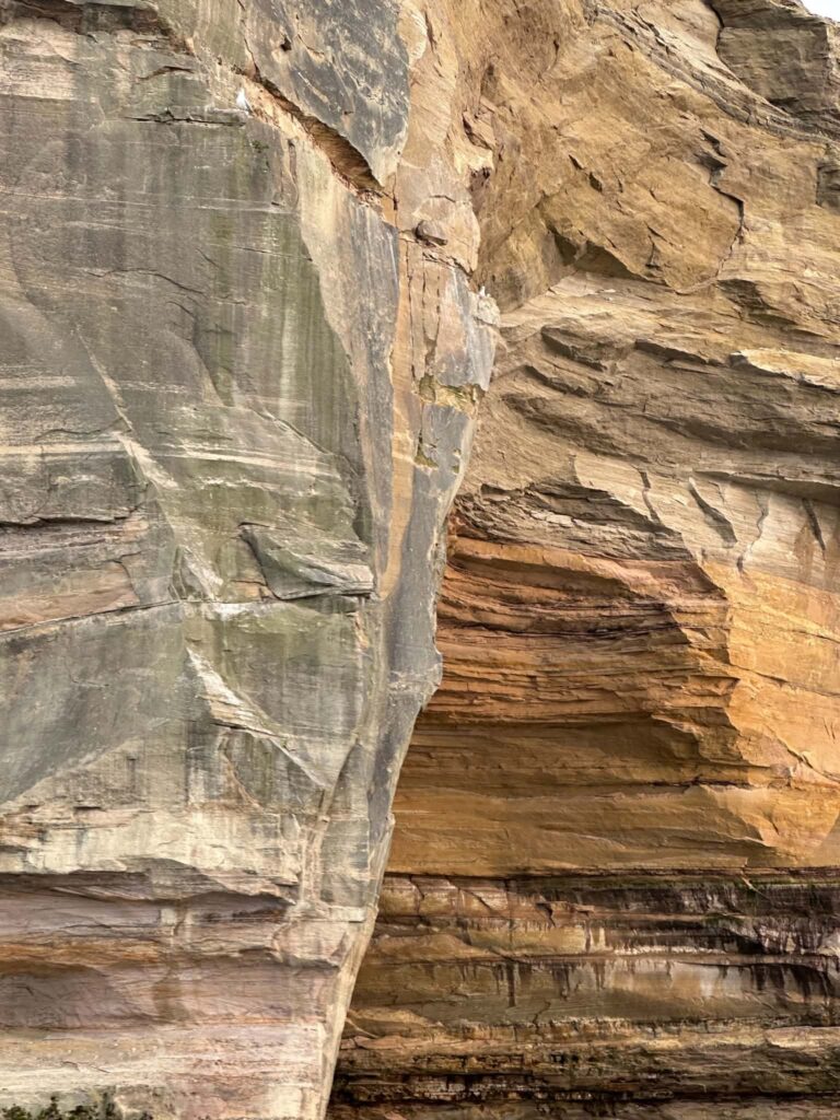
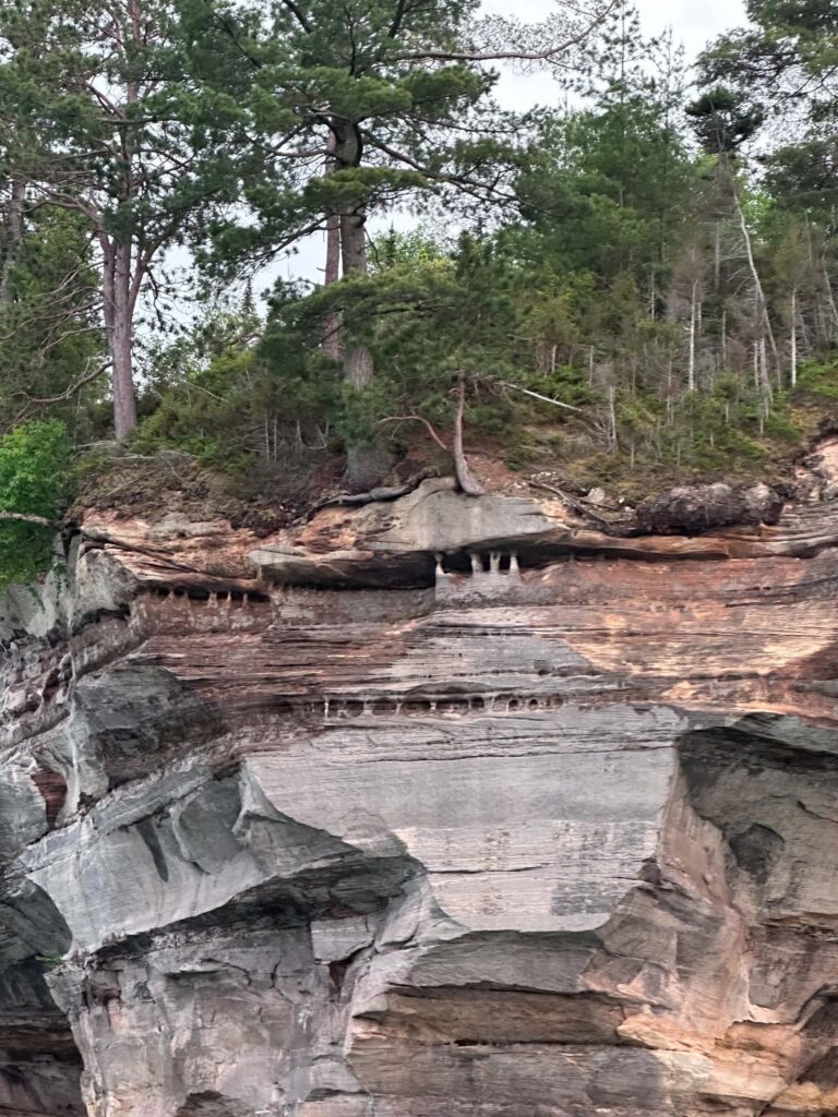
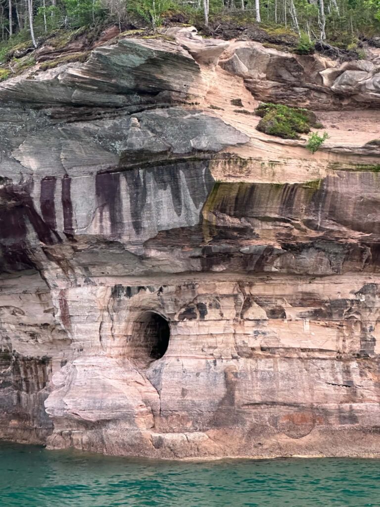
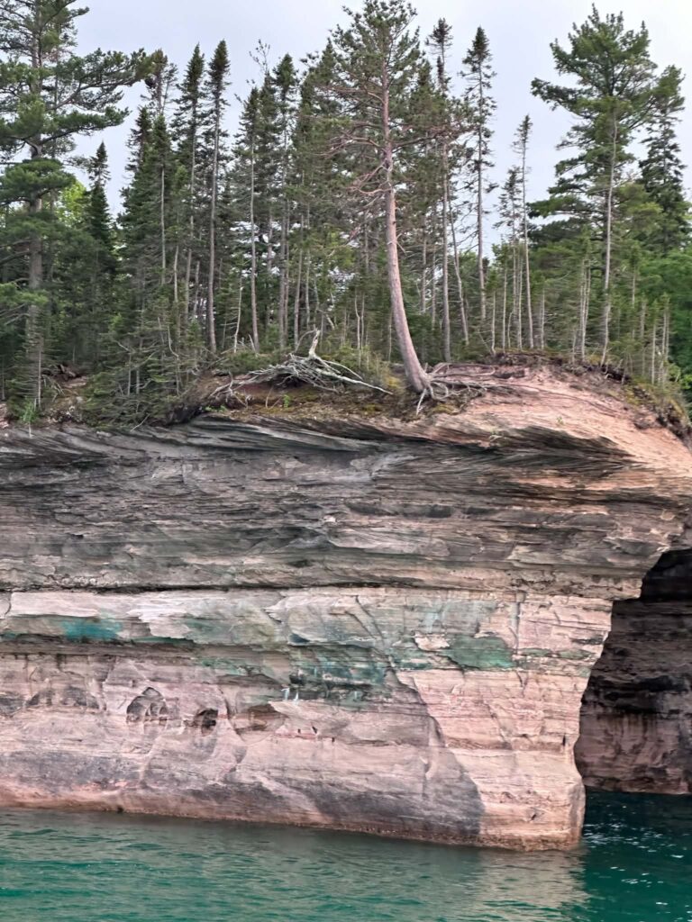
The national lakeshore stretches 42 miles along the south shore of Lake Superior in Michigan’s Upper Peninsula, protecting 15 miles of sandstone cliffs stained with minerals that have been seeping through the rock for millions of years. Beyond the cliffs there are nearly 100 miles of trails, a dozen waterfalls, remote beaches, enormous sand dunes, inland lakes, historic lighthouses, and one of the finest freshwater diving preserves on the continent.
This guide covers the 21 best things to do in Pictured Rocks across all four seasons. Every price in this article is verified for 2026. Every trail distance is confirmed against NPS sources. Closures are flagged. Accessibility is addressed for every major activity. That means mobility, yes — but also how the park works for visitors with hearing or vision differences, and for those with sensory sensitivities. And the pet policies are spelled out in full, including service animal rights, because too many guides get this wrong.
Wandering Michigan Wisconsin contains affiliate links. If you make a purchase using one of the links below, we may receive compensation at no extra cost to you. We only recommend products and services we use and trust.
Read our disclaimer for more information.

Plan Your Trip With My Favorite Resources
Best accommodation site: Booking.com
Book day tours here: Viator.com
Purchase travel insurance here: SafetyWing
Pictured Rocks National Lakeshore: Quick Facts for 2026
Location: Between Munising (west) and Grand Marais (east) on the south shore of Lake Superior, Michigan’s Upper Peninsula
Park hours: Open year-round, 24 hours a day
Visitor center: Munising Falls Visitor Center — 906-387-3700
2026 entrance fees: $25 per vehicle (7-day pass) | $15 per person on foot, bicycle, or boat | $20 per motorcycle | $45 annual Pictured Rocks pass | America the Beautiful passes accepted | Free Access Pass for visitors with permanent disabilities | Children 15 and under free
Nearest airports: Marquette (45 min west) | Sault Ste. Marie (2 hrs east) – rental car required from both
⚠️ Important: The Munising Falls trail has been closed since April 2025 due to erosion. Call 906-387-3700 to confirm current status before visiting.
21 Best Things To Do in Pictured Rocks National Lakeshore
1. Take a Pictured Rocks Cruise
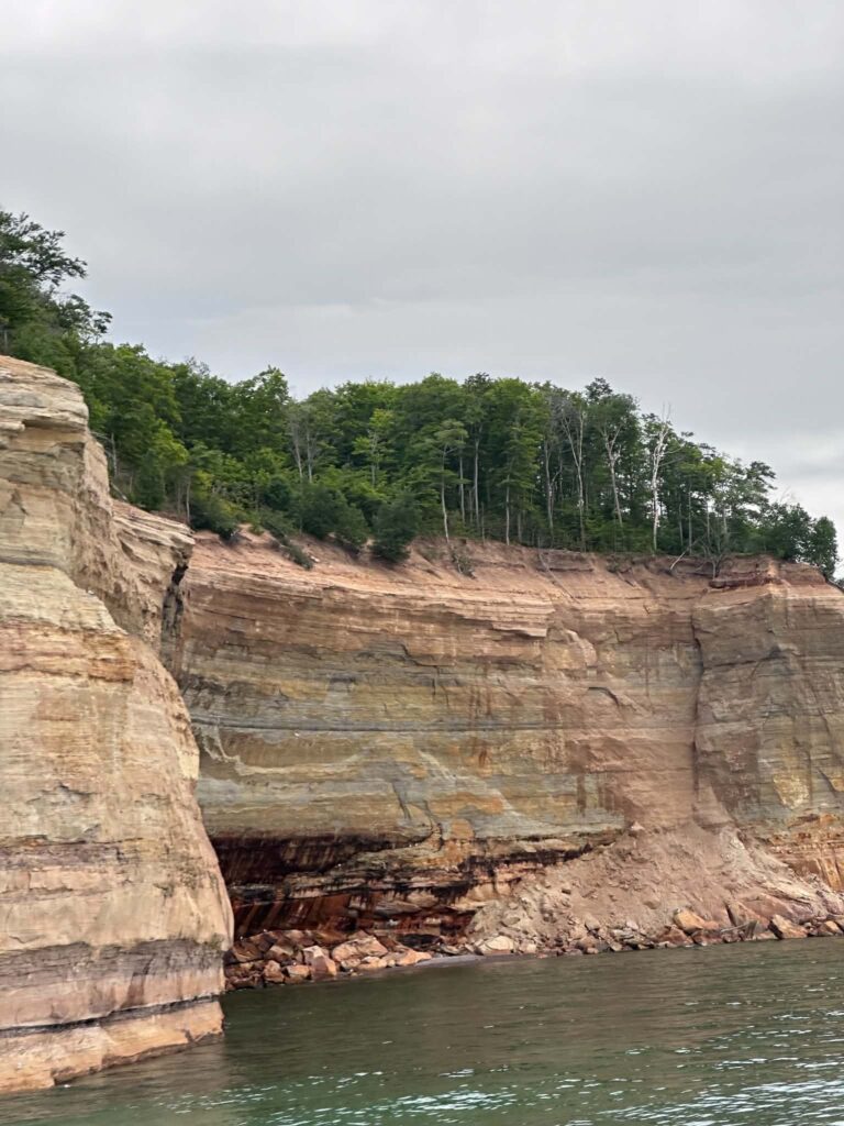
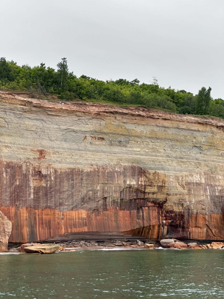
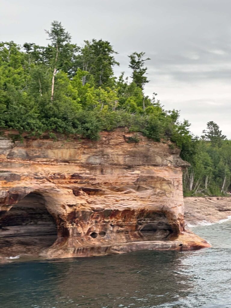
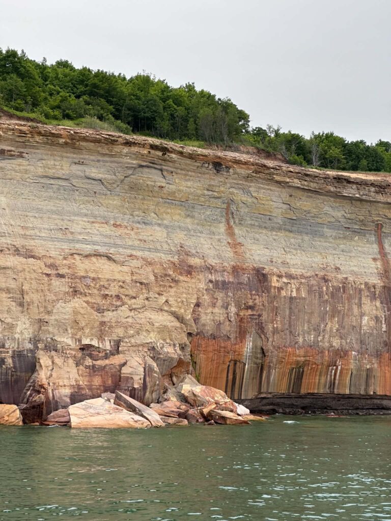
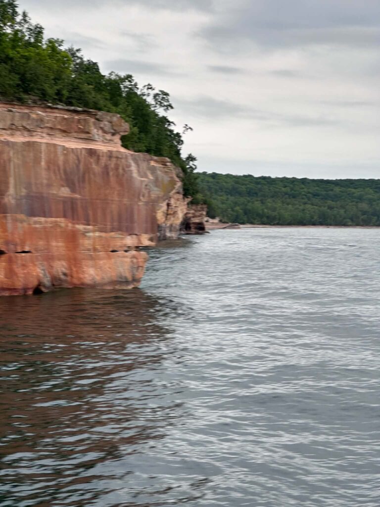
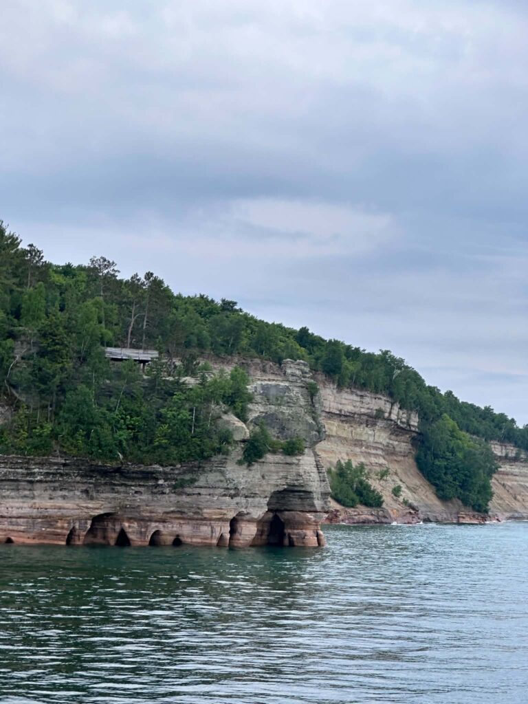
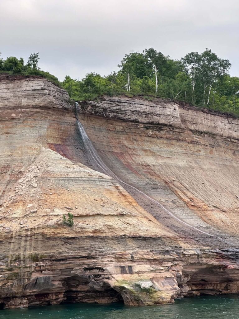
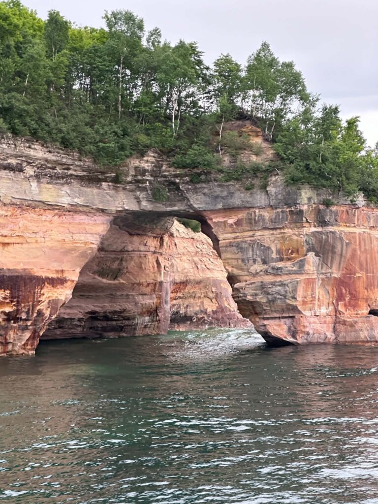
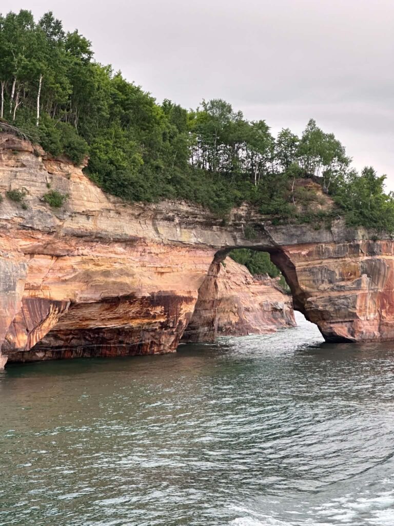
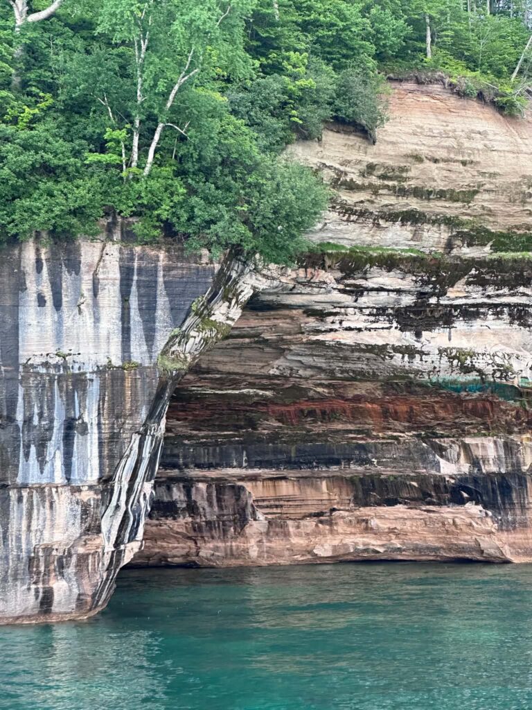
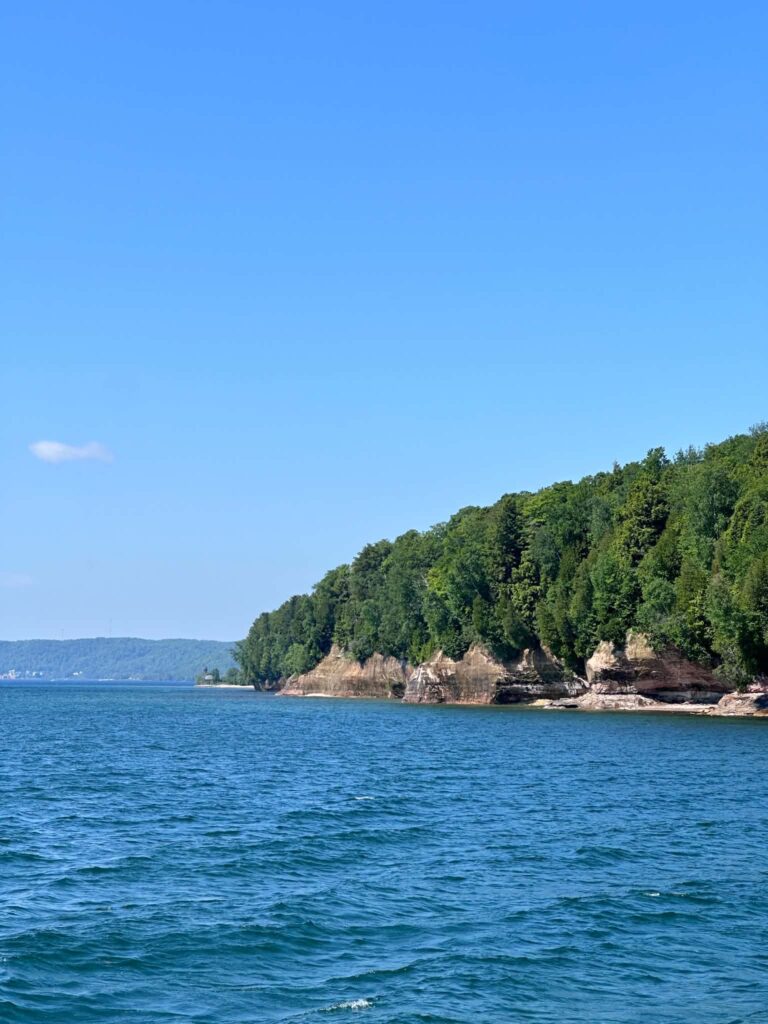
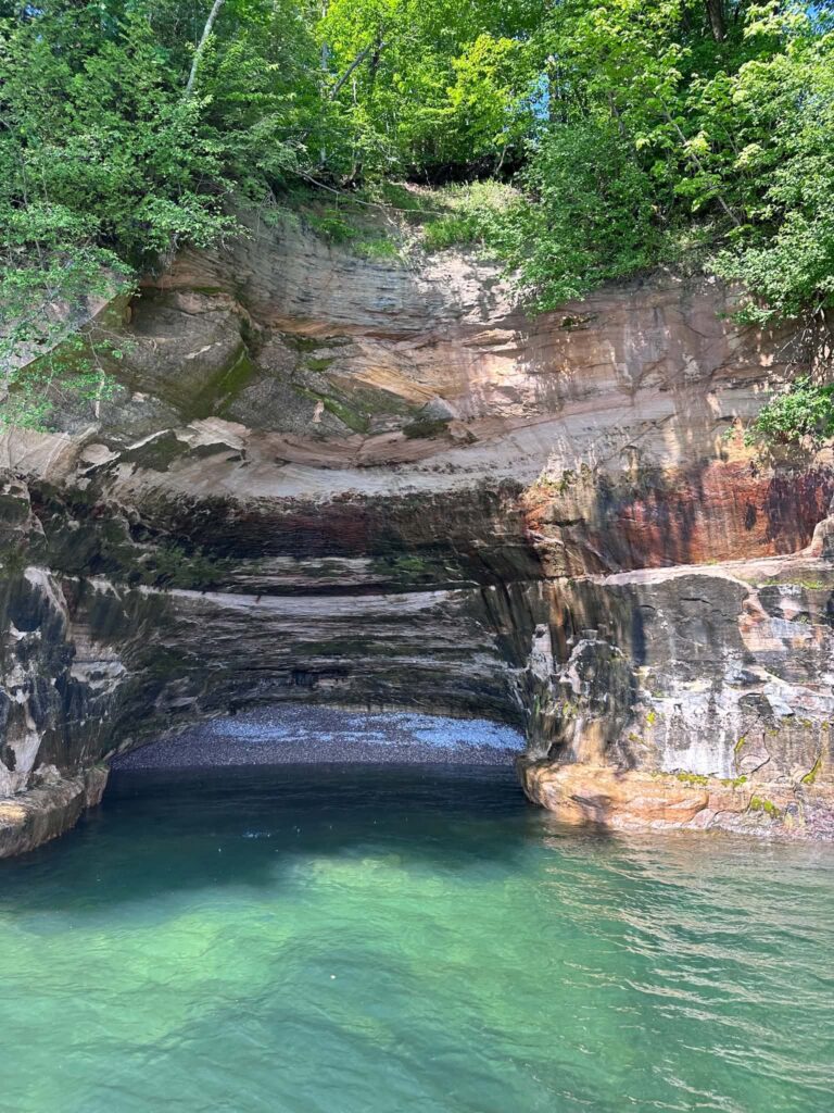
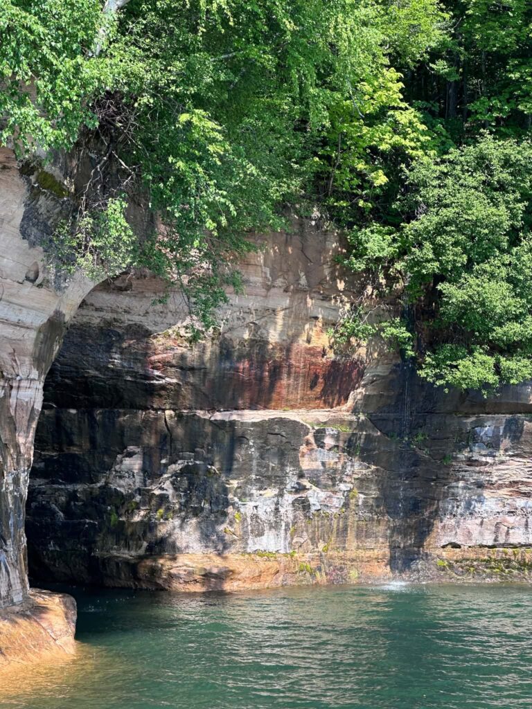
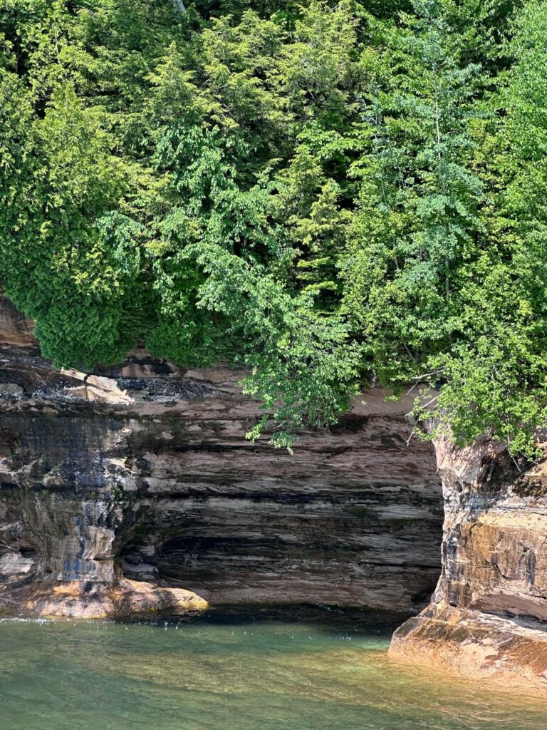
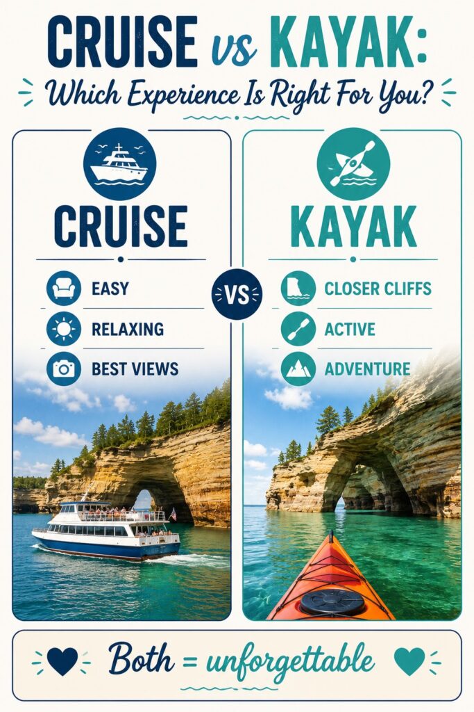
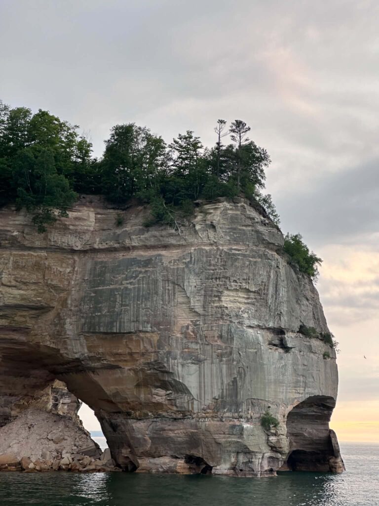
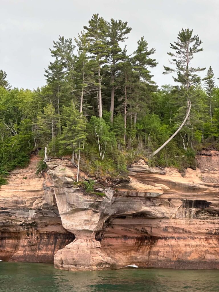
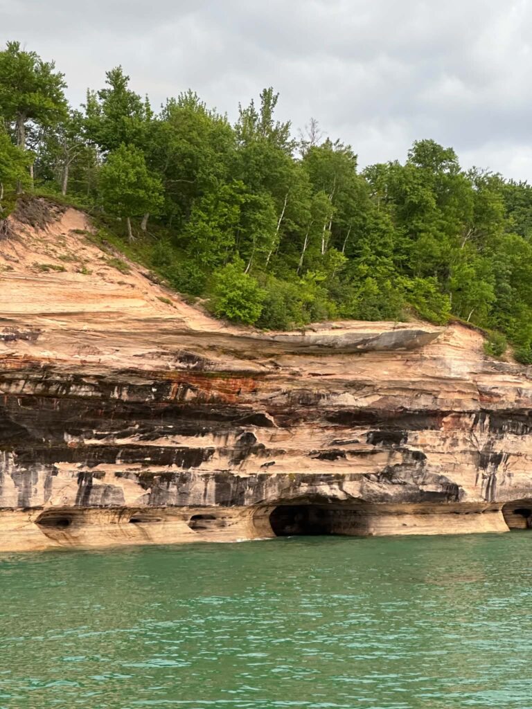
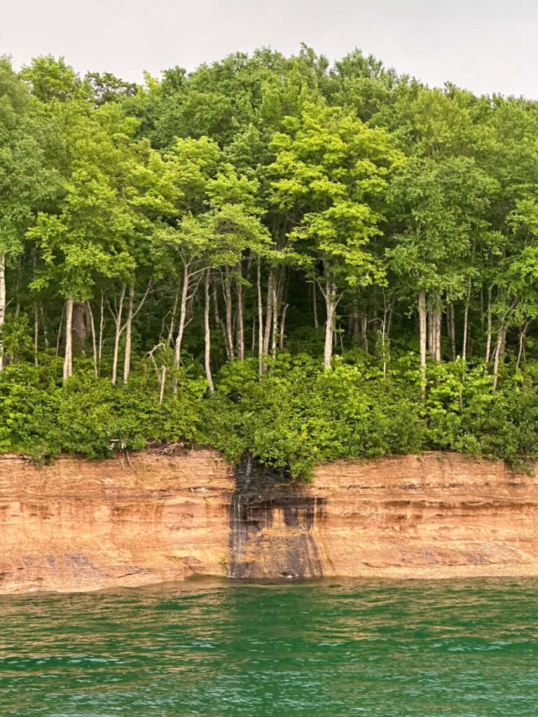
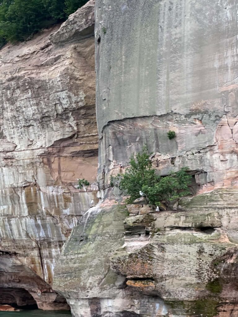
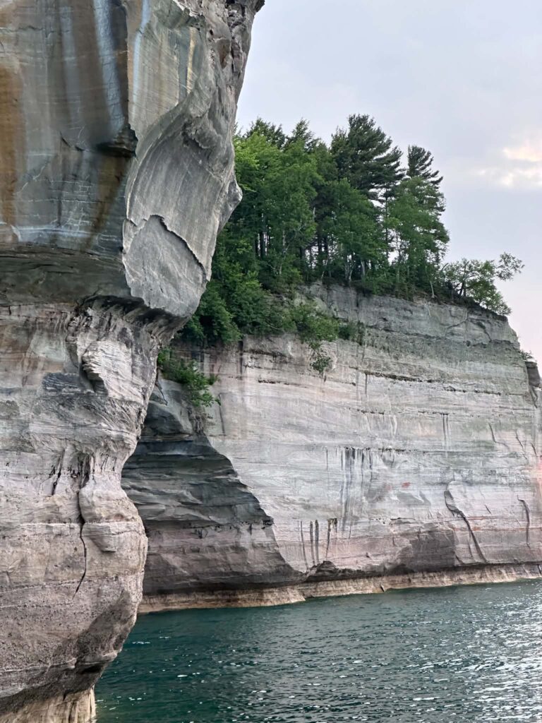
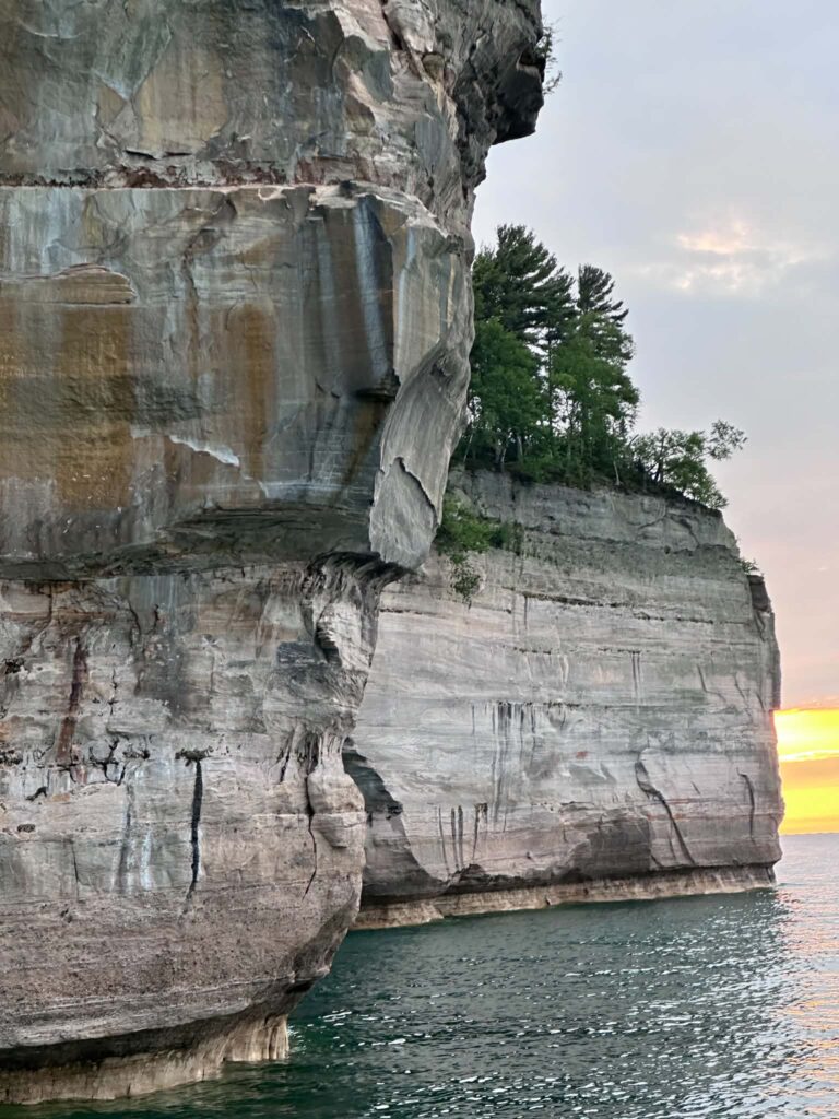
If you do one thing at Pictured Rocks, make it the cruise. I have visited multiple times — walked to most of the waterfalls, stood at the overlooks, been on the trails — and the cruise still gives you something none of those do: the full unbroken scale of 15 miles of cliffs seen from the water at a pace slow enough to absorb them.
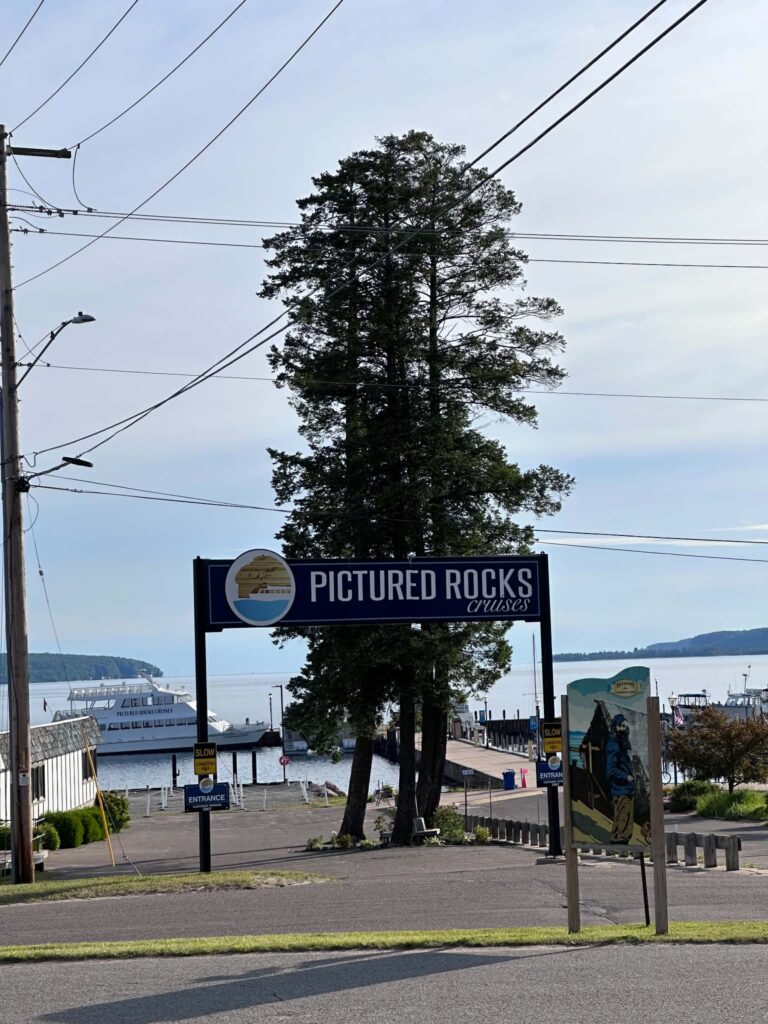
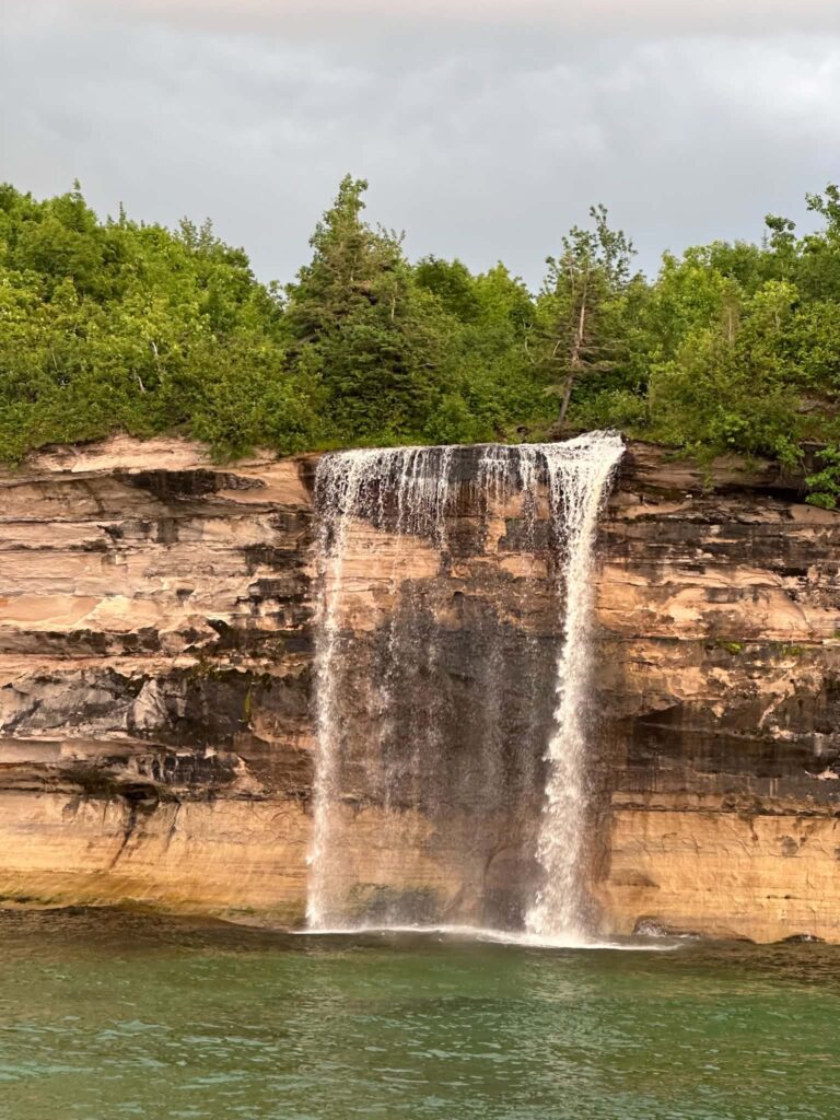
Pictured Rocks Cruises offers four tours: Classic, Sunset Classic, Spray Falls, and Sunset Spray Falls. All depart from the Munising City Dock and cover about 40 miles round-trip. The Spray Falls tours go further east to reach Spray Falls — the only spring-fed waterfall along the cliffs that runs every day of the year, dropping 70 feet directly into Lake Superior. The 2026 season runs May 9 through October 18. Tours last two to three hours.
Cruises sell out weeks in advance in July and August. Book at picturedrocks.com or call 906-387-2379.
Tip: The afternoon and sunset light gives the cliffs their deepest color. If photography is your priority, the Sunset Spray Falls Cruise gives you the best light — but dress for cold lake wind on the open upper deck even in summer. Tickets for children ages 4–12 are $12; children 3 and under are free.
Accessibility: The high-speed catamaran used for Spray Falls tours has the most accessible indoor seating for wheelchair users. All tours are narrated over a PA system audible from any position on the boat. Call 906-387-2379 before booking to discuss boarding access and current vessel configurations.
Pet policy: Pets are not permitted on the boats. Pictured Rocks Cruises provides a kennel service at the dock. Service animals trained to perform specific disability-related tasks are permitted on all vessels regardless of the pet restriction — staff may ask only whether it is a service animal and what task it performs. No documentation or certification is required. Emotional support animals follow the same rules as pets.
2. Sea Kayak the Cliff Face
Kayaking puts you at water level alongside the cliffs — close enough to see the individual mineral seams in the sandstone and to paddle through sea caves a cruise boat cannot reach. It is a different experience from the cruise, not a substitute for it. I am doing the kayak tour this summer and will update this section with firsthand detail after that visit.
Several NPS-authorized outfitters operate guided tours from Munising. Pictured Rocks Kayaking is the only operator that launches paddlers from a support boat offshore, which means you skip the long open-water paddle and spend your time at the scenic section of cliff from Mosquito Beach to Chapel Rock. Tours run three to five hours. No prior kayaking experience is necessary.
Tip: Book the boat-launch tour if this is your first time on Lake Superior. The support boat follows alongside the whole time. It provides restroom access and backup if anything goes wrong. Lake Superior is not a calm inland lake — solo paddlers in recreational kayaks should not attempt open-water cliff paddling.
Accessibility: Sea kayaking requires upper body strength and the ability to transfer into a low cockpit seat. It is not appropriate for most wheelchair users or people with significant upper body limitations. The glass-bottom boat shipwreck tour (see #11) is an accessible seated water experience.
3. Hike the Trails
Pictured Rocks has nearly 100 miles of trails ranging from a flat 15-minute boardwalk to a 42-mile backcountry traverse. You do not need to be an ambitious hiker to find something worth your time.
Sand Point Marsh Trail (0.5 miles, easy, accessible)
A flat boardwalk loop through wetlands near Sand Point Beach — the only wheelchair-accessible trail in the park. Eleven interpretive exhibits line the route, several with audio and tactile elements. Good for birdwatching year-round. The beach wheelchair reservation program operates here in summer, and a Mobi mat extends from the parking area to the water’s edge.
Distance: 0.5-mile loop | Surface: Boardwalk and paved | Dogs: Not permitted on this trail
Miners Castle Overlook (0.1–0.9 miles, easy, partial accessibility)
Three viewing platforms overlooking the park’s most photographed formation. The closest overlook is 200 feet from the parking lot; the farthest is about 1,300 feet. Two of the three platforms are accessible by vehicle. The upper deck offers a sweeping view of the cliffs and Lake Superior that stops most people in their tracks.
Distance: 0.2–1.8 miles round-trip | Surface: Paved to first two overlooks | Dogs: Leashed dogs permitted
Miners Falls Trail (1.2 miles round-trip, easy-moderate)
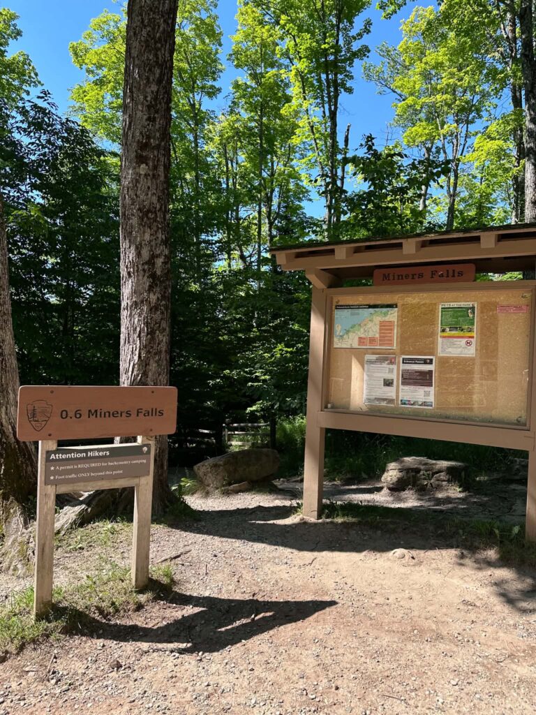
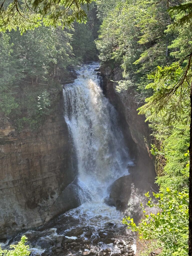
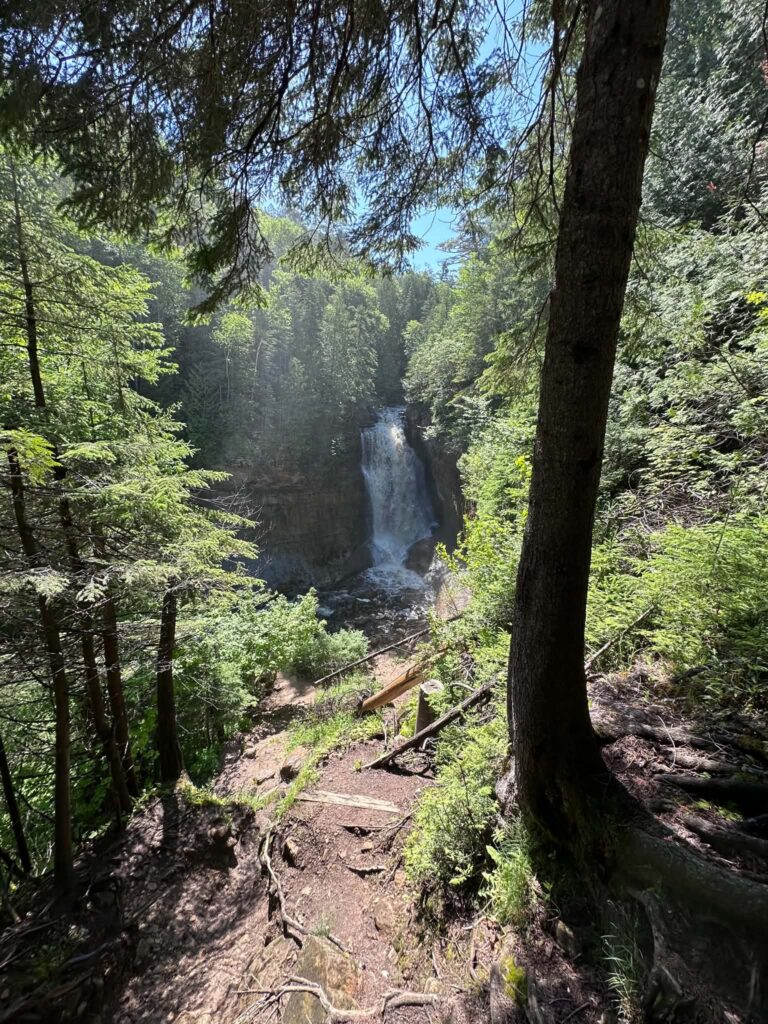
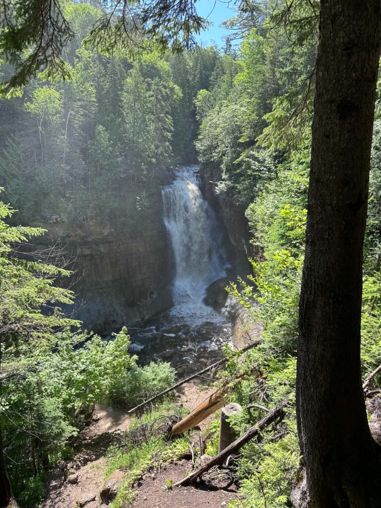
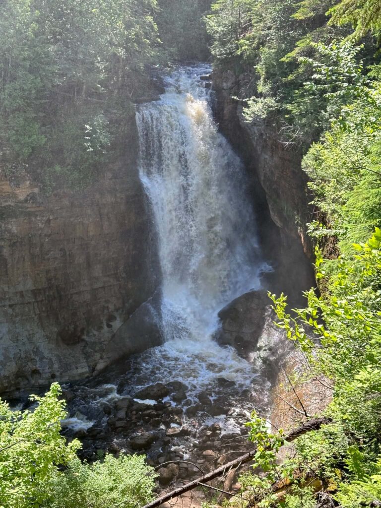
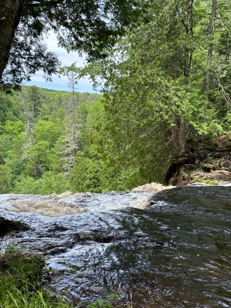
The best short hike in the park. A 0.6-mile gravel path through maple forest delivers you to two overlooks above a powerful 50-foot waterfall. The trail is firm and manageable with stability poles but unpaved — not suitable for wheelchairs. Arrive early to have the overlooks to yourself.
Trailhead: Parking lot off Miners Castle Road, about 4 miles north of H-58.
Distance: 1.2 miles round-trip | Surface: Compacted gravel | Dogs: Not permitted
 Miners Falls Trail
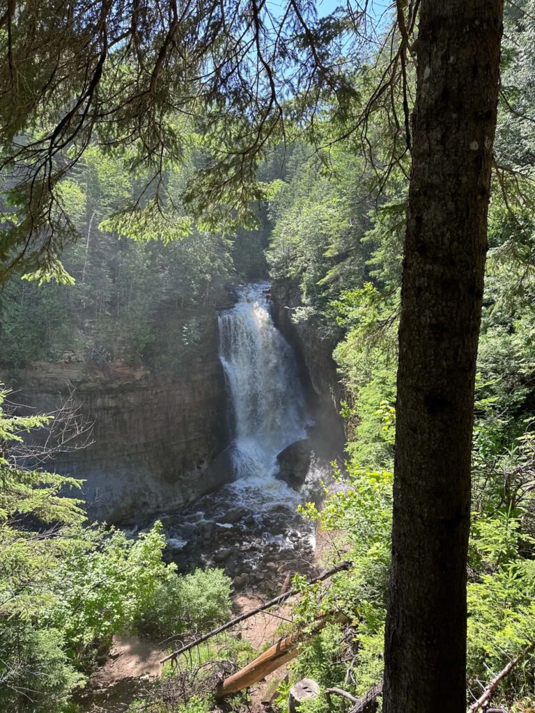 Miners Falls Trail
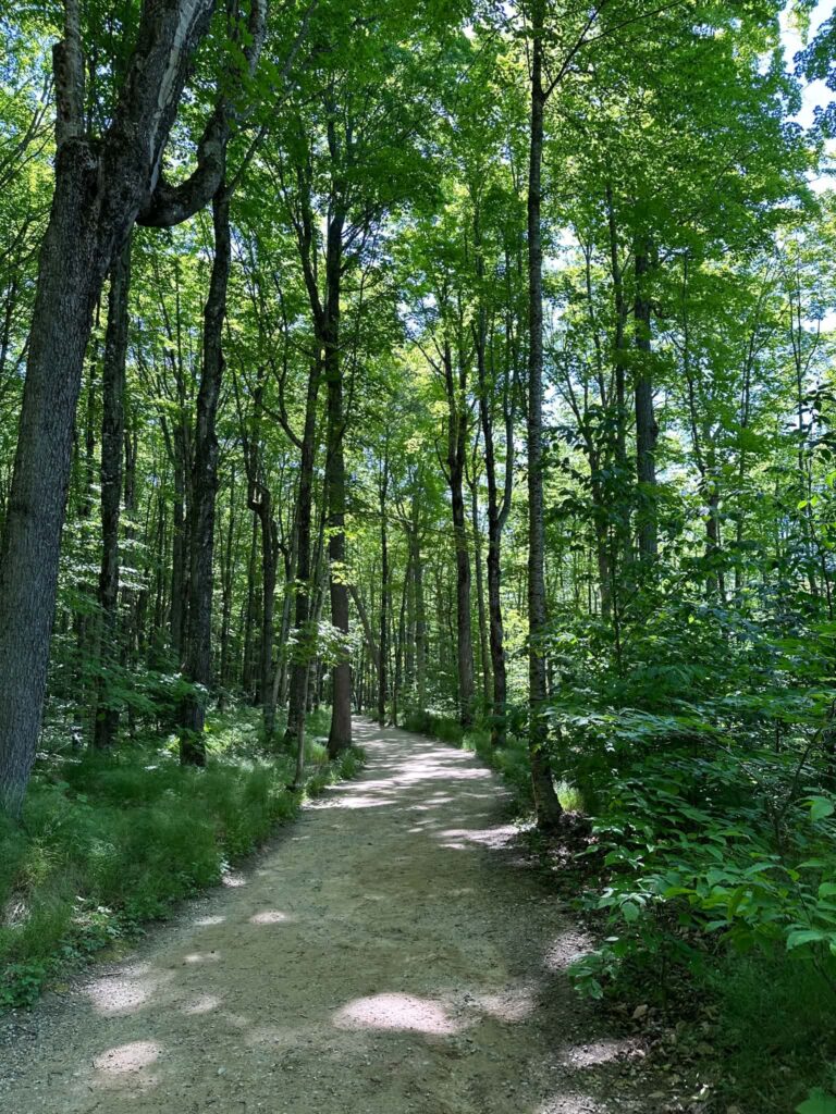 Miners Falls Trail
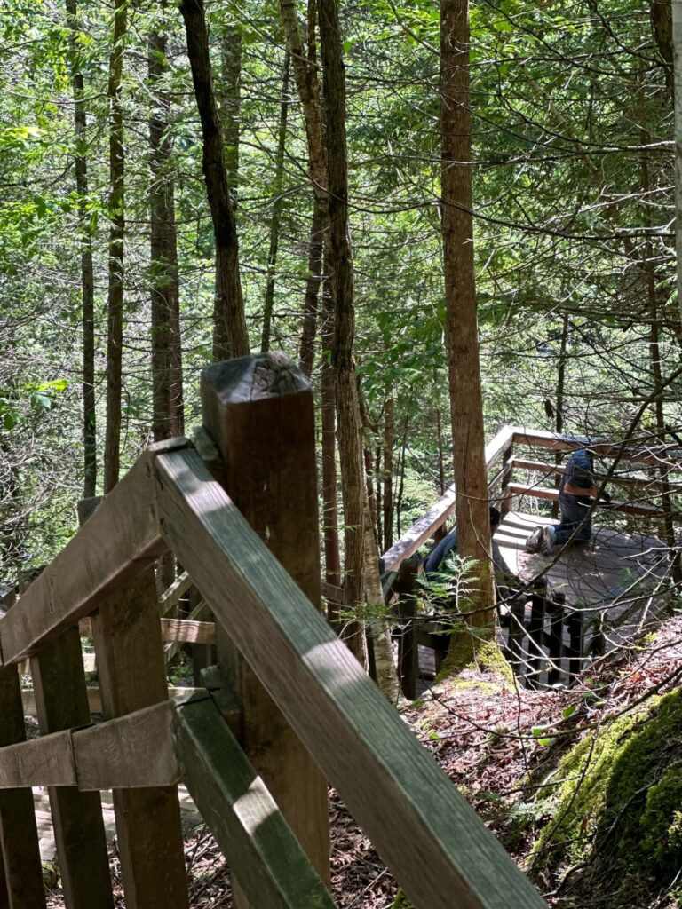 Miners Falls Trail
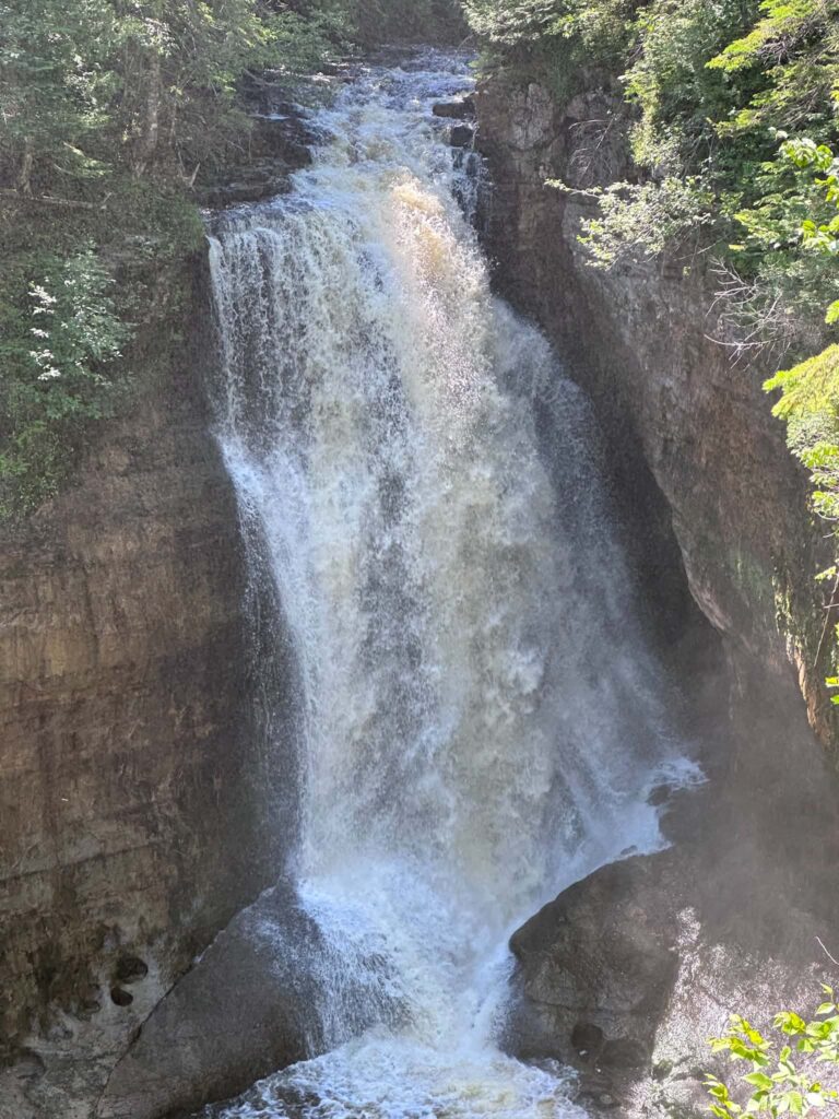 Miners Falls Trail
 Miners Falls Trail
 Miners Falls Trail
 Miners Falls Trail
 Miners Falls Trail
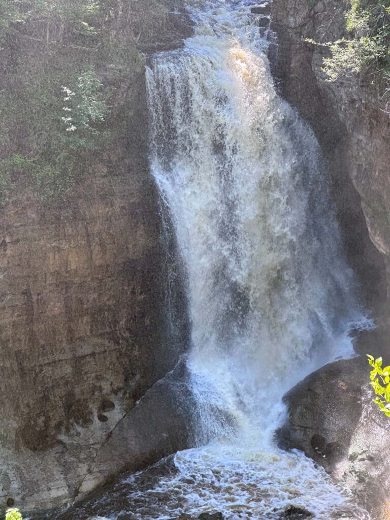 Miners Falls Trail
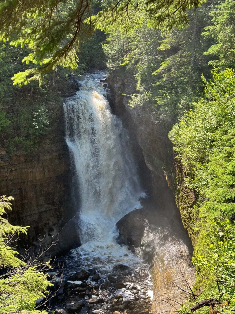 Miners Falls Trail
Chapel Loop (10 miles, moderate-strenuous)
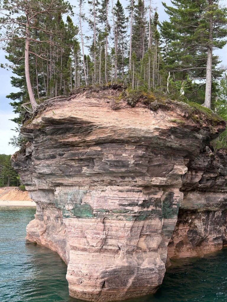
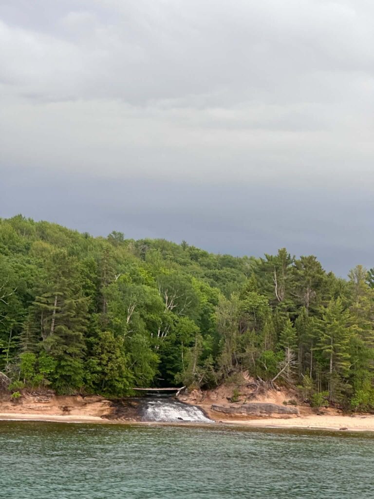
The park’s signature full-day hike. The loop passes Chapel Falls (60-foot waterfall) and Chapel Rock — a sandstone arch topped by a 250-year-old white pine whose roots stretch to the mainland — before arriving at Chapel Beach and returning through maple and birch forest. Most hikers need four to six hours for the full loop. You can shorten to Chapel Falls and back at roughly 4 miles round-trip.
Trailhead: Chapel-Mosquito trailhead parking lot off Chapel Road.
Distance: 10 miles (full loop) | Surface: Dirt, roots, some rocky sections | Dogs: Not permitted
Tip: Do not climb on Chapel Rock — it is a protected formation. Walk with care near all cliff edges on this trail. No water sources on the trail; carry everything you need.
Au Sable Lighthouse Trail (3 miles round-trip, easy)
A flat, straightforward hike along the North Country Trail from Hurricane River Campground to the 1874 Au Sable Light Station. The beach walk to the lighthouse gives you a clear view of the cliffs from the east end of the park — a perspective most visitors never see. Look for shipwreck remnants in the shallow water along the shore.
Distance: 3 miles round-trip | Surface: Sandy trail and beach | Dogs: Leashed dogs permitted on this trail
North Country Trail (up to 42 miles, strenuous)
The full-length trail runs from Munising to Grand Marais through cliff edges, remote beaches, boreal forest, and 22 backcountry campsites. Serious hikers complete it over four to six days. Casual visitors hike sections. A park shuttle service runs in summer — leave your car at the endpoint and ride to your starting point. Backcountry permits required for overnight use: $15 base plus $5 per person per night, available at recreation.gov.
Accessibility: Most Pictured Rocks trails are unpaved and root-covered, with uneven footing throughout. The Sand Point Marsh Trail and the Miners Castle paved overlook path are the only routes accessible for wheelchair users. Miners Falls is workable with stability poles on firm footing. All other trails involve significant terrain challenges. Call 906-387-3700 before your visit to discuss current conditions.
4. Spend Time on the Beaches
Pictured Rocks has some of the most striking beaches on the Great Lakes. Lake Superior rarely warms above the mid-60s°F even in peak summer, but the beaches are worth visiting whether or not you swim. The water runs clear and the sand is white. On a calm day the color shifts between turquoise and deep blue depending on depth.
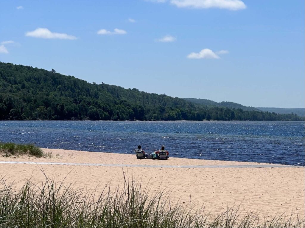
Sand Point Beach is the most accessible and family-friendly — short walk from the parking area, the only beach with picnic tables. This is also where the summer beach wheelchair program operates, with a Mobi mat to the water’s edge.
Miners Beach sits below the cliffs and catches the best afternoon light. The approach is a short unpaved trail from the parking area.
Twelvemile Beach stretches for 12 uninterrupted miles and stays significantly quieter than the western beaches even in peak season. The campground here books out months in advance for summer weekends.
Hurricane River Beach and Chapel Beach are remote and reached by trail only — rarely crowded and worth the effort if you have the time.
Pet policy: Leashed dogs are welcome at Sand Point Beach, Miners Beach, Twelvemile Beach, Lake Superior Overlook Beach, Hurricane River Beach, and Sable Falls Beach. Dogs are not permitted on most park trails. Service animals trained to perform specific disability-related tasks are welcome throughout the park regardless of pet restrictions. Staff may ask only two questions: is it a service animal, and what task does it perform. No certification is required. Emotional support animals follow the same rules as pets.
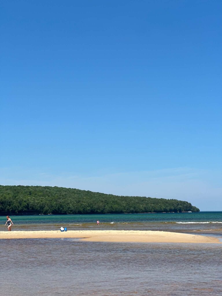 Sand Point Beach
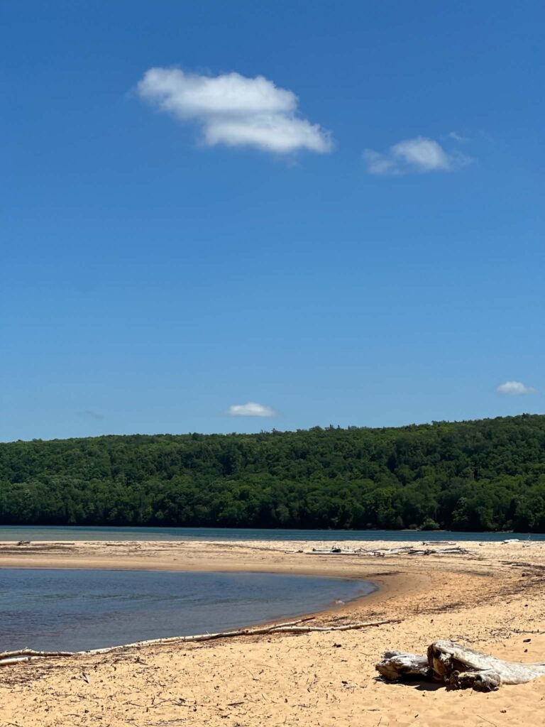 Sand Point Beach
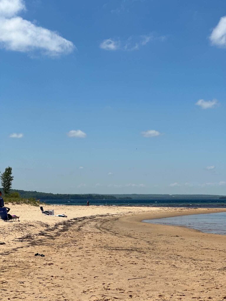 Sand Point Beach
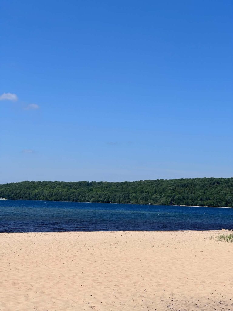 Sand Point Beach
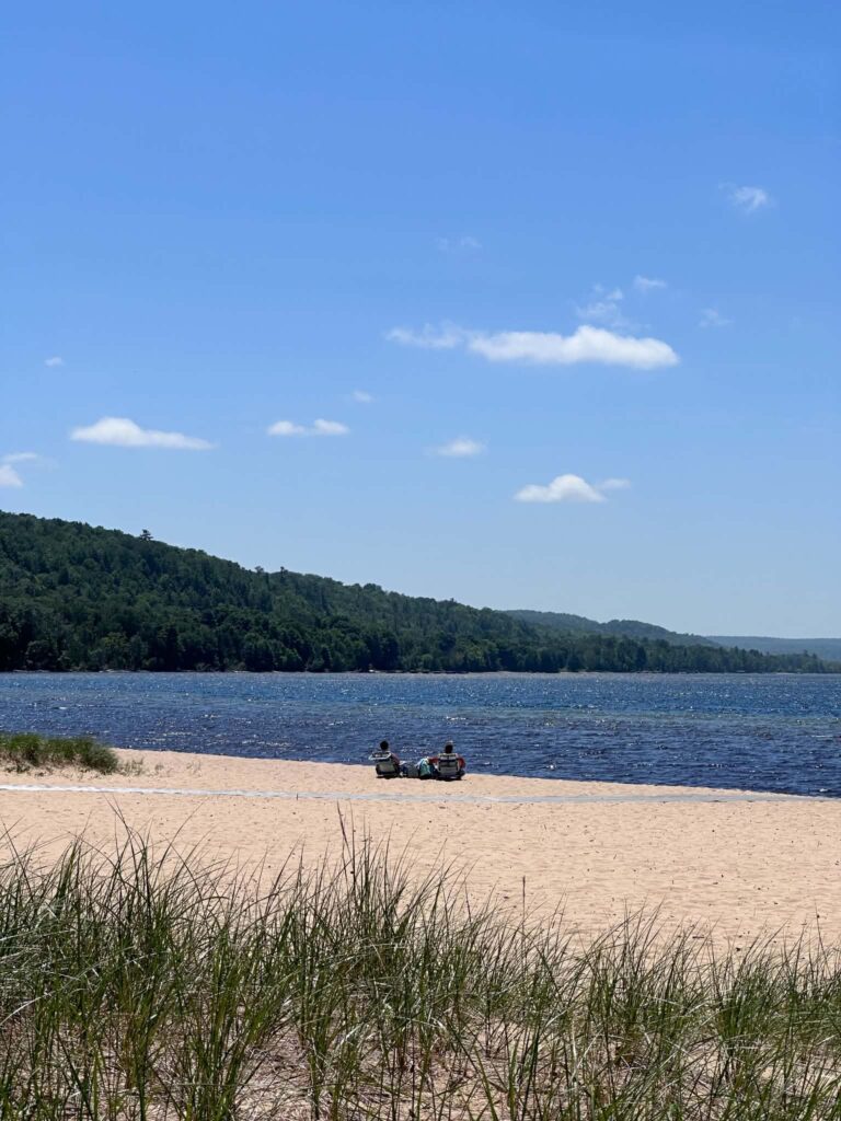 Sand Point Beach
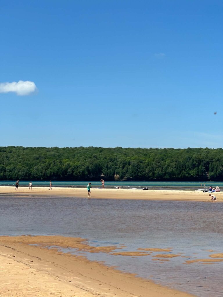 Sand Point Beach
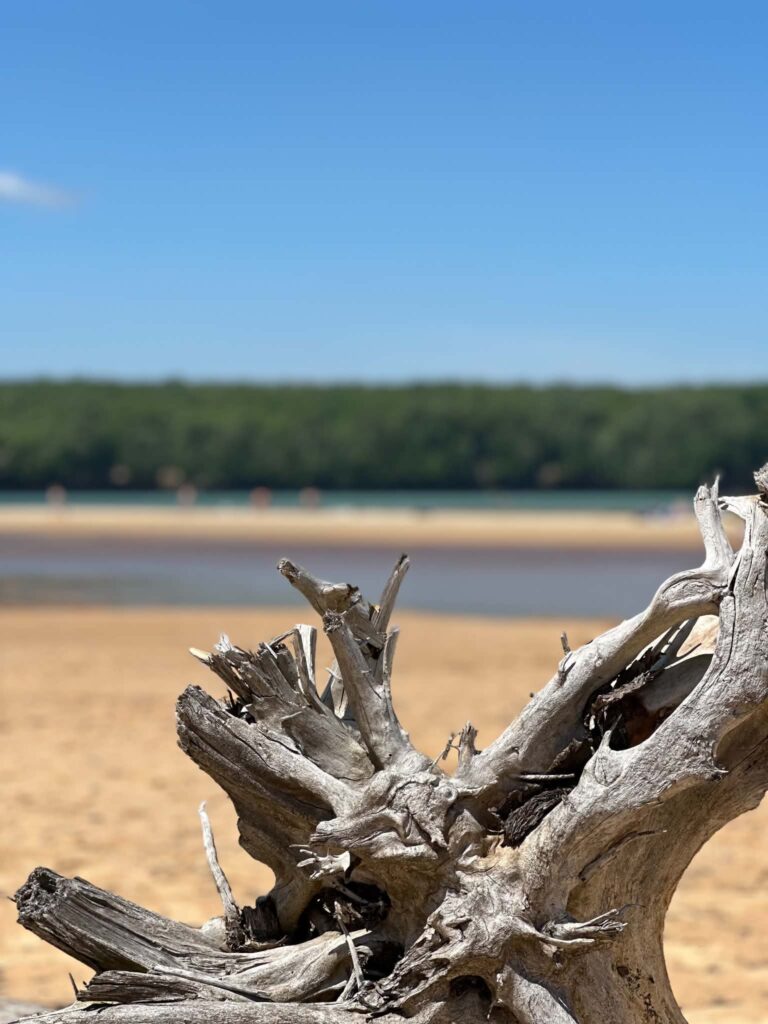 Sand Point Beach
5. Chase the Waterfalls
The geology of Pictured Rocks — the hard Munising Formation sandstone extending west to east across the region — creates waterfalls at nearly every drainage. Some you reach by trail, others only from the water.
- Spray Falls: 70 feet, drops directly into Lake Superior. Visible only from the water — cruise or kayak. Runs year-round.
- Miners Falls: 50 feet. Reached by 0.6-mile trail. The most accessible waterfall hike in the park.
- Chapel Falls: 60 feet. 2-mile trail from the Chapel Road trailhead, or passed on the full Chapel Loop.
- Sable Falls: 75 feet. Short staircase descent from the Grand Sable Dunes parking area near Grand Marais. The 168 steps down are easy; coming back up is the honest challenge.
- Mosquito Falls: 8-foot shelf drop. Passed on the Chapel Loop, about 1 mile from the trailhead.
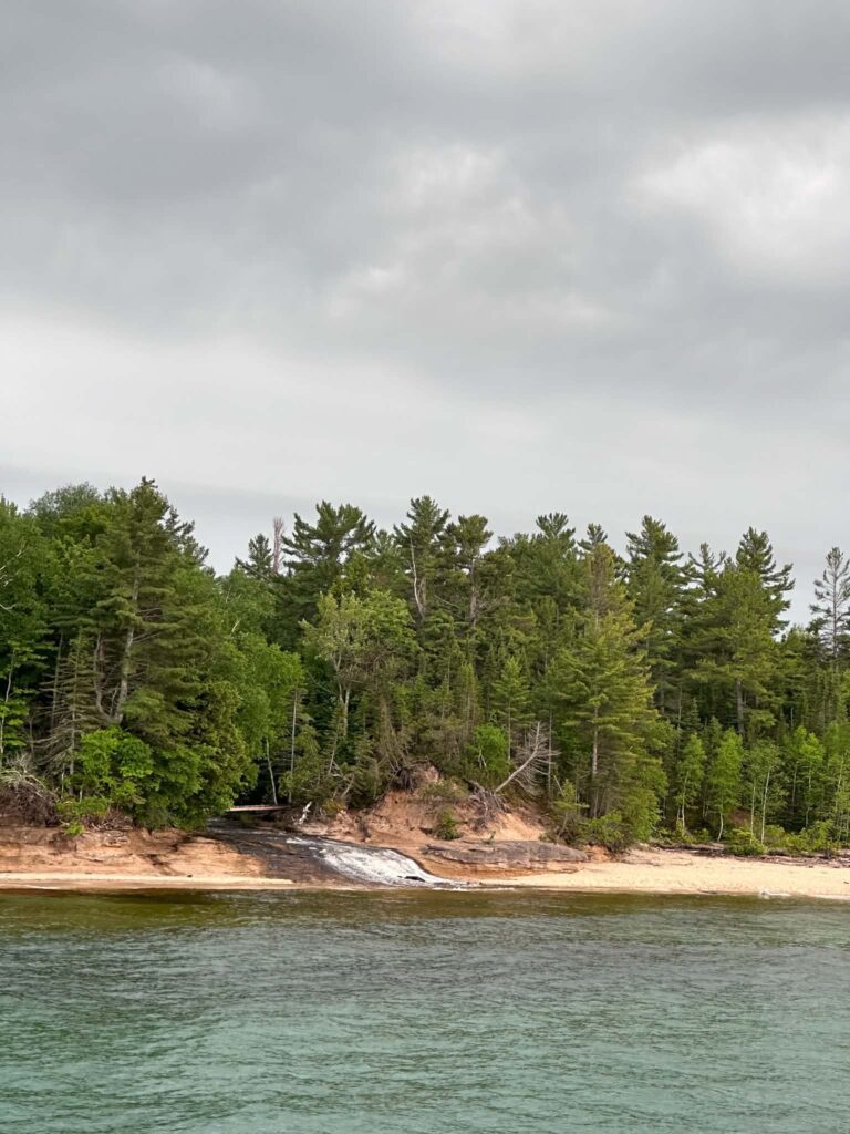
- Bridalveil Falls: Visible from the cruise.
⚠️ Important: Munising Falls trail has been closed since April 2025 due to erosion. Check current status at nps.gov/piro or call 906-387-3700 before planning a visit around this waterfall.
Tip: A single trip can realistically include Miners Falls (morning hike), Spray Falls (afternoon cruise), and Chapel Falls (next-day hike). See our full guide to Pictured Rocks Waterfalls for all 17.
6. Explore Grand Sable Dunes
The eastern end of the park holds something most first-time visitors miss entirely: Grand Sable Dunes, rising up to 300 feet above Lake Superior — some of the largest freshwater perched dunes in the world. The Log Slide Overlook gives you the scale immediately: a former logging chute site where you stand at the top of a 500-foot descent to the beach. The view stretches east to the Grand Sable Bluffs and west along the lakeshore.
The overlook is reached by a short paved path from the Log Slide parking area off H-58. Getting down to the beach is optional — climbing back up is steep and takes most people 20 to 30 minutes.
Grand Sable Visitor Center, near Grand Marais, serves the eastern end of the park and is worth stopping at before exploring this section.
Accessibility: Log Slide Overlook has a paved path to the viewpoint. The descent to the beach is a steep sandy slope with no accessibility accommodation. The overlook itself is the accessible experience here.
7. Visit the Lighthouses
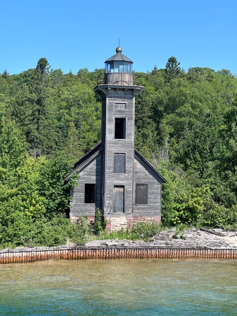
Au Sable Light Station is an 87-foot tower built in 1873, sitting on a remote stretch of shore at Au Sable Point on the park’s eastern end. It is one of the most isolated lighthouses in Michigan and one of the most rewarding to reach — the 3-mile round-trip hike along the North Country Trail delivers you to a beach where shipwreck remains are still visible in the shallows. The NPS offers guided tours in summer. Check nps.gov/piro for current tour schedules and fees.
Grand Island East Channel Lighthouse (1868) sits on private property on Grand Island. You cannot reach it on foot, but it is visible from the tip of Sand Point Beach and from every cruise boat that passes Grand Island.
Tip: The Au Sable Lighthouse tour books out fast in July and August. Check the NPS calendar at nps.gov/piro and register early. It is one of the best ranger programs in the park.
Accessibility: The Au Sable trail is 1.5 miles each way on sandy, unpaved terrain. Not accessible for wheelchairs or walkers. Grand Island East Channel Lighthouse is viewable from Sand Point Beach, which has accessible parking and the Mobi mat beach access.
8. Take the Glass-Bottom Boat Shipwreck Tour
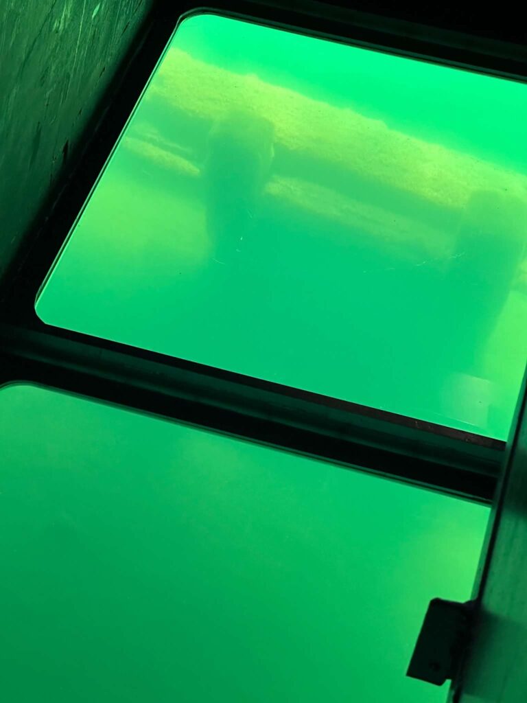
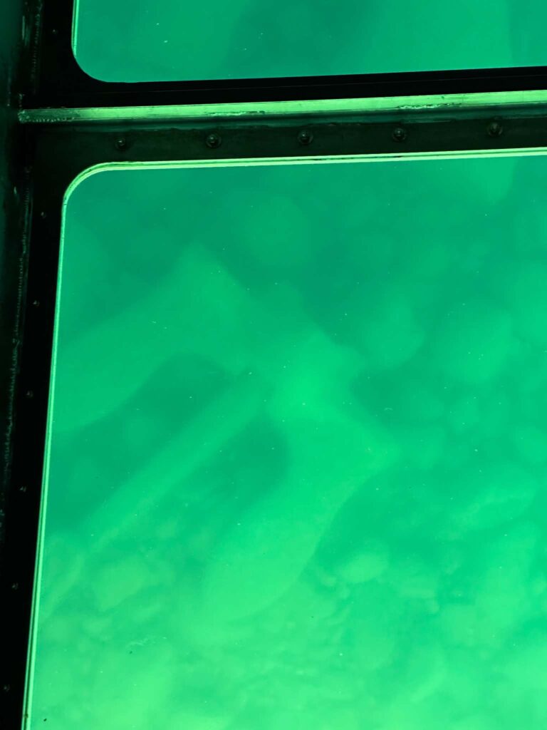
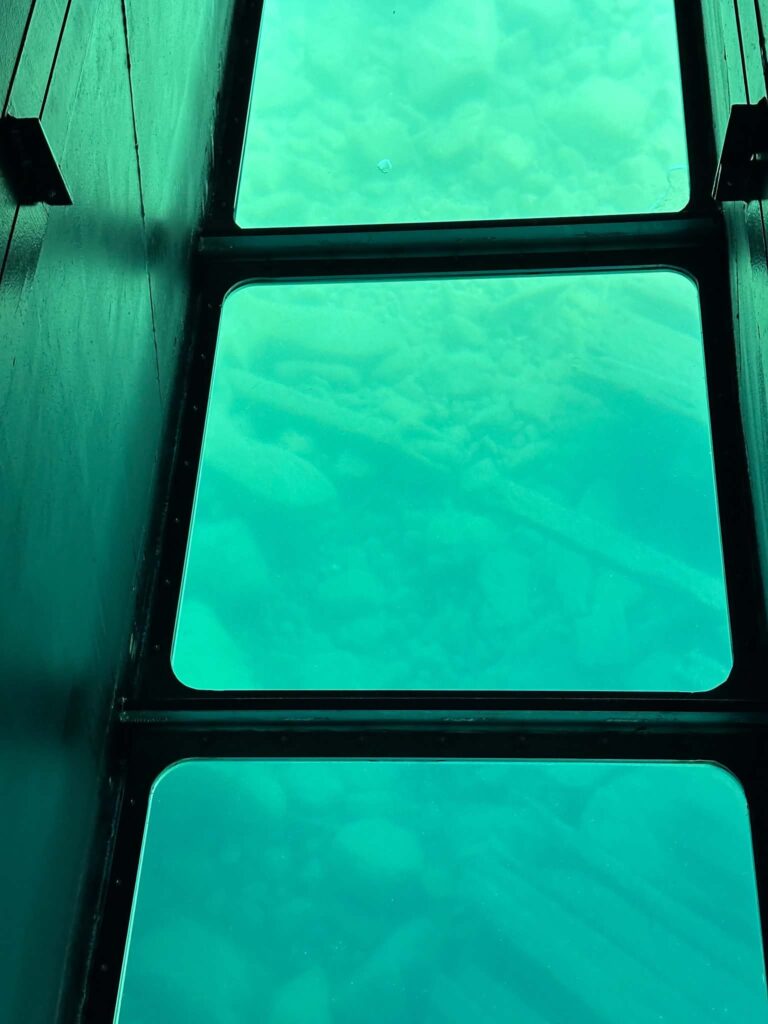
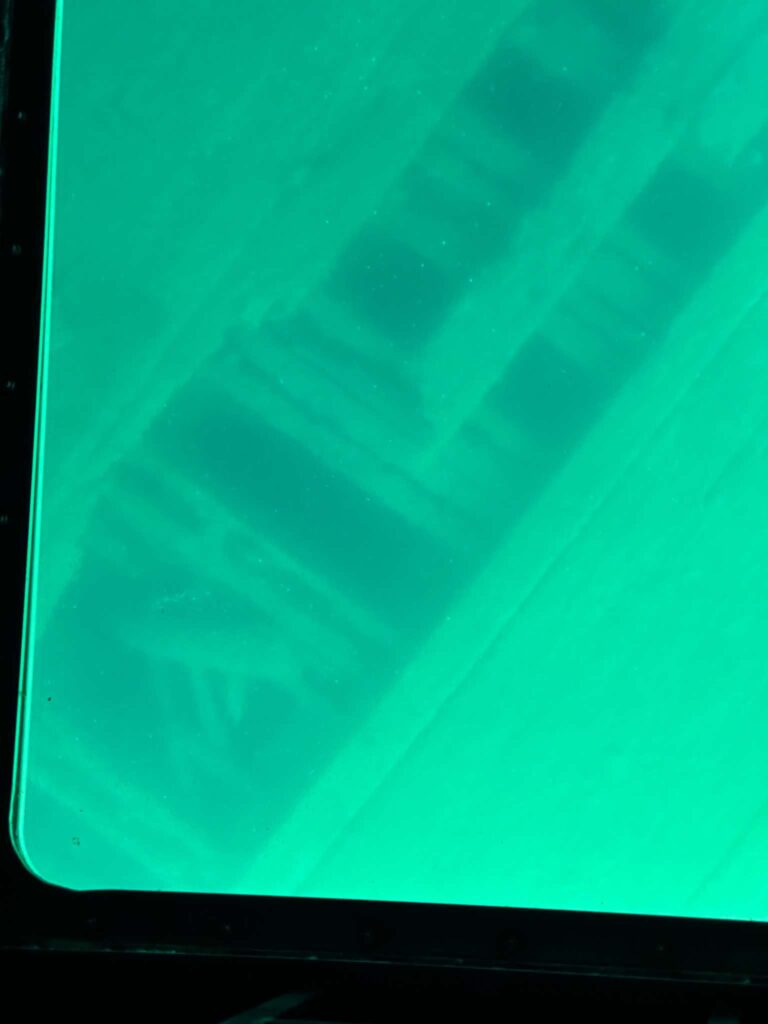
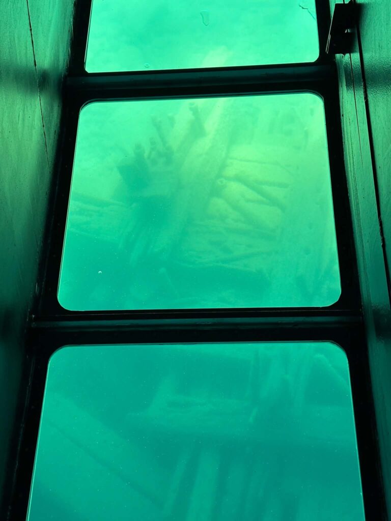
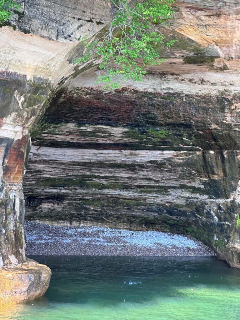
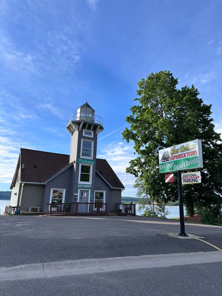
The Alger Underwater Preserve holds more than 20 shipwrecks within the park’s boundaries — wooden vessels preserved intact by Lake Superior’s cold water, some dating to the 1860s. The two-hour glass-bottom boat tour departs from Munising and passes Grand Island and the East Channel Lighthouse before stopping over two wrecks — passengers look straight down through the hull into the lake. The captain narrates the maritime history throughout.
It is one of the most unusual experiences in the Upper Peninsula and worth doing even if you are not a history person. Confirm current operators and pricing by searching for Alger Underwater Preserve tours in Munising before booking.
Accessibility: The glass-bottom boat tour is a seated experience on a motor vessel. Confirm current boarding accessibility with the operator before booking.
9. Day Trip to Grand Island
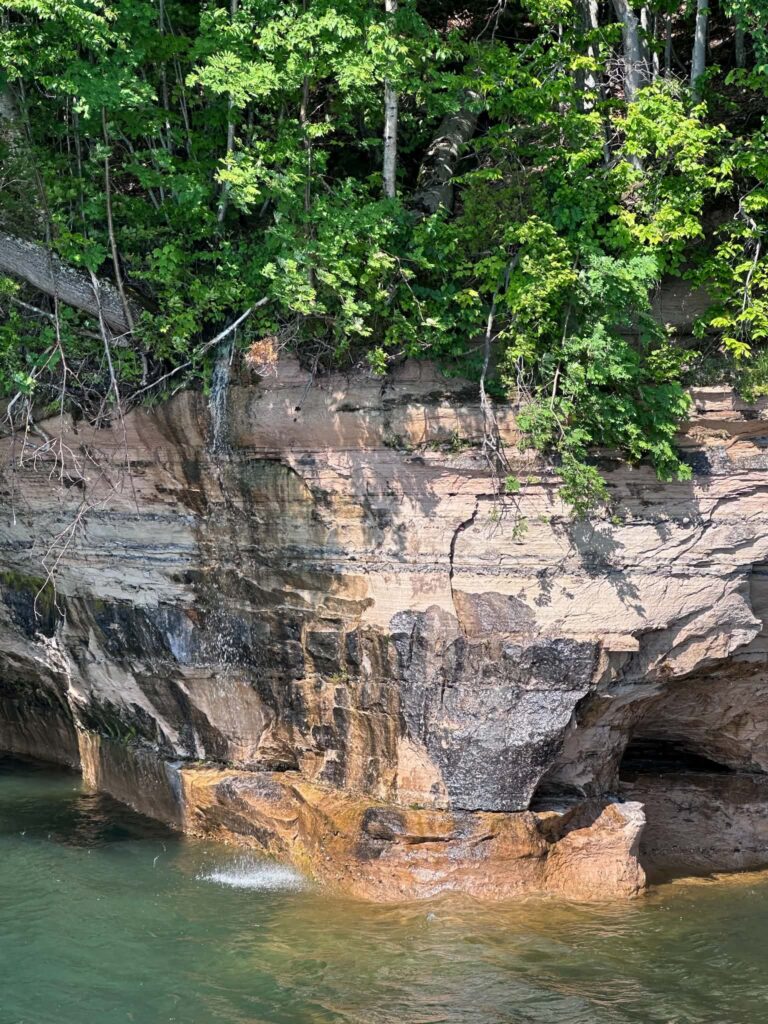
Grand Island National Recreation Area sits in Munising Bay, reached by a short ferry crossing from the city dock. The island has sandstone cliffs that mirror the mainland formations. Sandy beaches and a network of hiking and mountain biking trails through old-growth forest fill out the rest. The view from the island’s northern shore back toward Pictured Rocks is one of the best angles on the park available anywhere.
The ferry is seasonal. Once on the island there are no services — bring water and food and plan for a self-supported day. Bicycles make the island far more manageable; bring your own or check current rental availability in Munising.
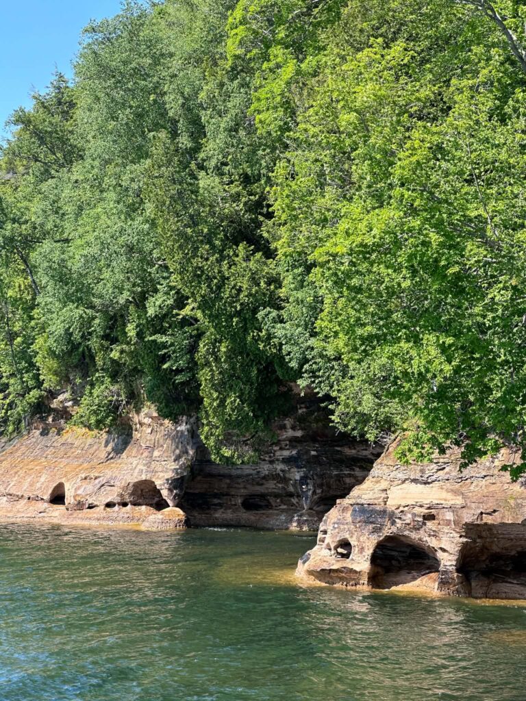
10. Stargaze (and Watch for Northern Lights)
The park is open 24 hours a day, and the stretch of Lake Superior shoreline around Pictured Rocks is far enough from city light pollution that the night sky on a clear evening is extraordinary. Any beach works. Miners Beach and Twelvemile Beach are the most popular, with Grand Portal Point a quieter alternative. Northern lights sightings along this section of the UP happen regularly enough in late summer and fall to be worth monitoring the aurora forecast — apps like SpaceWeatherLive or My Aurora Forecast give 24-hour predictions.
11. Go Birding
The park supports over 180 bird species across the calendar year. Piping Plovers nest on the far eastern end near Grand Marais — one of the few reliable nesting sites for this threatened species on Lake Superior. Raptors are well-represented. Bald eagles and peregrine falcons nest here, as do northern goshawks and northern harriers. The forest holds 25 warbler species. You may also spot ruffed grouse, American woodcock, great blue herons, common loons, and sandhill cranes.
The Sand Point Marsh Trail is the most accessible birding location in the park — flat boardwalk, open wetland, reliable activity at any hour of the day. The Beaver Basin Wilderness and the Twelvemile Beach area are the best spots for forest species.
12. Scuba Dive the Alger Underwater Preserve
If you are PADI certified, the Alger Underwater Preserve ranks among the best freshwater diving in North America. Twenty-one-plus shipwrecks sit within the preserve, spanning the region’s maritime history from the fur trade era through the copper and iron ore years into the lumber period. Cold, clear Lake Superior water preserves wooden hulls that would have rotted out decades ago in warmer water.
A dive shop and air-fill station operate in Munising in season. Charter boats serve most major wreck sites. Water temperatures stay near 40°F at depth year-round — a drysuit is standard equipment. Visibility peaks in late spring before algae growth begins.
13. Book a Fishing Charter
Lake Superior fishing out of Munising targets lake trout and Coho salmon, along with whitefish. Full-day and half-day charters run from spring through fall through multiple operators in Munising. Even non-anglers find a charter worthwhile — it puts you on the water with a guide who knows the lakeshore from the water side, at a quieter pace than the cruise and often with better cliff views from the east.
14. ATV and ORV Riding
Alger County surrounds the national lakeshore and maintains an ATV and ORV trail network connecting Munising and Grand Marais through sections of Hiawatha National Forest. Trail maps are available at algercountychamber.com/atv.
Current rental operators in Munising include:
- Lake Superior Tours — 906-387-5950
- Renze Power Sports — 906-387-3920
- Country Wide Adventures Munising — 906-387-7400 (side-by-side rentals)
Tip: Call ahead to confirm availability and seasonal hours before making the drive. Rental inventory changes year to year.
15. Mountain Bike Grand Island or Munising Trails
Bicycles are not permitted on hiking trails within the national lakeshore, but Grand Island is excellent for mountain biking — a ferry crossing gets you to forested trails with cliff-edge vistas that most visitors on foot never reach. The hills above Munising also have a trail network separate from the park. If you are staying multiple days, a half-day on Grand Island by bike shows you a different side of the lakeshore.
16. Snowmobile the Alger County Trail Network
Alger County averages over 140 inches of snow annually, and the groomed snowmobile trail system connecting Munising, Grand Marais, and the surrounding forest is one of the primary reasons people make this drive in January and February. Multiple businesses in Munising rent sleds and gear seasonally. Search for current operators through the Munising Visitors Bureau at munising.org before your trip.
17. Cross-Country Ski
The national lakeshore maintains two cross-country ski systems — one near Munising on the western end and one near Grand Marais on the eastern end — totaling more than 20 miles of groomed trails through forest and open terrain. No equipment rental inside the park; rent in Munising before heading in. The area gets enough snow to support good skiing from late December through March in most years.
18. Ice Climb the Frozen Waterfalls
In a strong winter, the combination of waterfalls, cliff seeps, and lake-effect cold creates curtains and columns of ice throughout the park. Sand Point and Miners Falls are the most accessible climbing spots. The blue ice curtains at Sand Point reach 20 to 50 feet in height — park at Sand Point Beach or Munising Falls and walk in. The Miners Falls ice column is roughly 40 feet; access requires a ski or snowshoe approach of about 1.5 miles from the Carmody and Miners Castle Roads junction.
Tip: Ice conditions change fast — year to year and week to week. Check with local outfitters in Munising for current conditions before driving to the park for climbing.
19. Join a Ranger Program
The park offers guided ranger programs throughout summer, including tours of Au Sable Light Station, ranger table talks at the visitor center, and junior ranger activities for children. These programs are the fastest way to understand the geology, ecology, and human history of the lakeshore rather than just walking past it. Programs fill quickly in peak season — check nps.gov/piro for the current calendar and registration requirements.
20. Eat Pasties at Muldoon’s
A pasty is the Upper Peninsula’s defining dish: a thick pastry crust filled with meat or chicken, vegetables, and gravy, baked and served whole. It is a full meal in one packet, invented to keep miners warm during long underground shifts, and Muldoon’s on M-28 West in Munising makes them on-site daily. They also offer dessert pasties filled with seasonal fruit.
If you have never had a pasty, this is the right place to start. Call ahead to confirm current hours before visiting — seasonal hours change.

21. Eat Fresh Lake Superior Whitefish
Two spots on Commercial Street in Munising make a strong argument for being mandatory stops.
VanLandschoot & Sons Fish Market (1338 Commercial Street) has been a fifth-generation family operation since 1914, catching Lake Superior whitefish and selling it fresh, smoked, and as sandwiches. 2026 hours: Monday and Thursday–Saturday 11 a.m.–5 p.m., Sunday 11 a.m.–3 p.m., closed Tuesday–Wednesday. Seasonal — confirm at vsifish.com before visiting.
Cap’n Ron’s Fish & Chips (1336 Commercial Street) is a seasonal food truck serving whitefish and Lake Superior trout baskets with thick-cut fries and coleslaw. 2025 hours: daily 11:30 a.m.–8 p.m. in season. Check the Cap’n Ron’s Fish & Chips Facebook page for current opening and closing dates each spring.
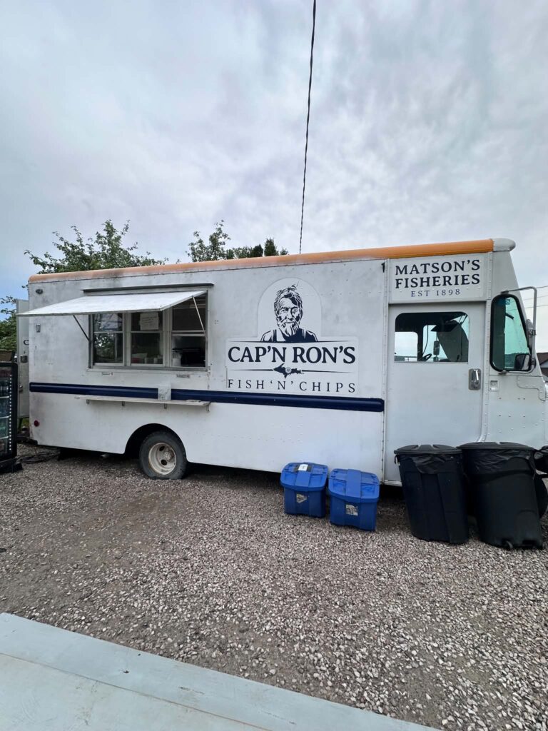 Captain Rons Food Truck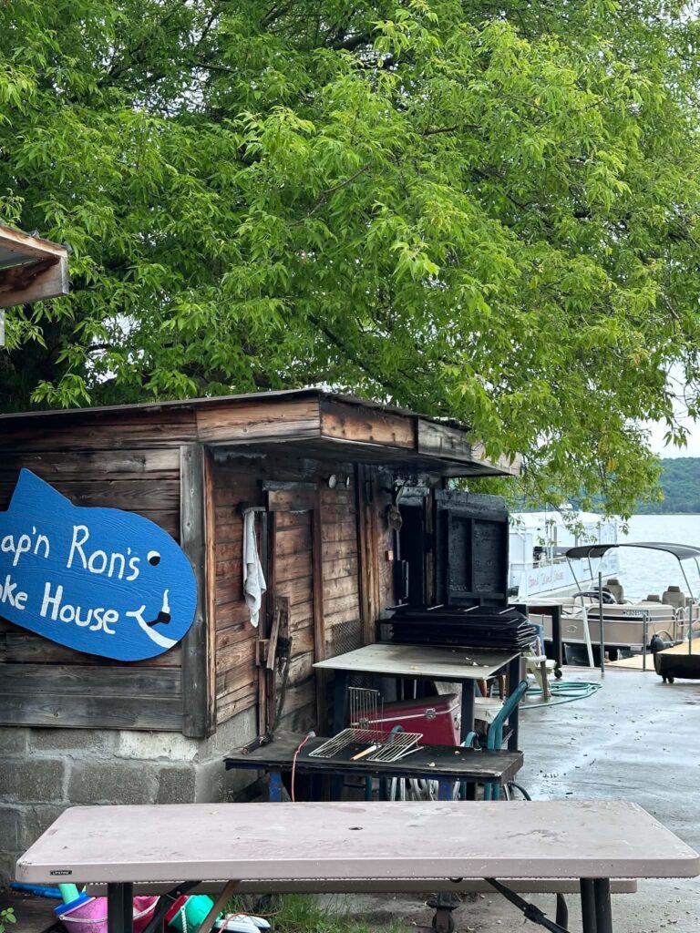
Hunting at Pictured Rocks
Hunting is permitted within the national lakeshore under Michigan regulations. Bear and grouse season opens in September. Snowshoe hare season runs through winter. A valid Michigan hunting license is required; waterfowl stamps may also be needed depending on what you are hunting. Check current Michigan DNR regulations at michigan.gov/dnr before your trip.
Camping at Pictured Rocks
The park offers two distinct camping experiences.
Drive-in campgrounds
Bay Furnace Campground (Christmas, MI — Lake Superior beachfront, National Forest campground adjacent to the park), Twelvemile Beach Campground, Hurricane River Campground, and Little Beaver Lake Campground.
Drive-in sites cost $25 per night. Reservations at recreation.gov — summer weekends book out months in advance.
Backcountry camping
22 designated camping zones along the North Country Trail, spaced approximately every 2–3 miles. Permits required: $15 base fee plus $5 per person per night. Available at recreation.gov up to six months in advance.
Most scenic zones: Chapel Beach, Mosquito River, and Coves (cliff-side camping).
America the Beautiful Senior and Access passes receive a 50% discount on camping fees.
Accessibility: Wheelchair-accessible campsites: Twelvemile Beach Campground (sites 2 and 6), Hurricane River Campground (sites 10 and 12). A wheelchair-accessible fishing dock goes in each summer at the east end of Grand Sable Lake with a walkway mat from the parking area.
Pet policy: Leashed pets are permitted at most drive-in campgrounds. Confirm the current pet policy for each campground at nps.gov/piro. Service animals are permitted throughout all campgrounds and backcountry zones regardless of pet restrictions.
Accessibility at Pictured Rocks National Lakeshore
Pictured Rocks is a rugged park and most of it is not accessible to visitors with mobility limitations. But there is more here than most guides acknowledge — and knowing where to look before you arrive makes a significant difference.
Mobility Accessibility
The Sand Point Marsh Trail is the only wheelchair-accessible trail in the park — boardwalk and paved throughout, 0.5 miles, with a beach wheelchair reservation program and a Mobi mat to the water’s edge at Sand Point Beach in summer.
The Miners Castle Overlook paved path reaches the first two viewing platforms — legitimate cliff views without any trail hiking.
Log Slide Overlook has a short paved path to a dramatic viewpoint over Grand Sable Dunes and the lakeshore.
The Pictured Rocks Cruise is the most accessible way to see the cliffs. The Spray Falls catamaran has the best indoor seating for wheelchair users. Call 906-387-2379 before booking.
The America the Beautiful Access Pass is free for visitors with permanent disabilities and covers park entrance fees plus a 50% discount on camping.
⚠️ Important: The Munising Falls accessible paved trail has been closed since April 2025. Call 906-387-3700 to confirm current status.
Vision, Hearing, and Sensory Accessibility
The Sand Point Marsh Trail’s 11 interpretive exhibits include audio and tactile elements — one of the better multi-sensory trail experiences in Michigan’s national park system.
All Pictured Rocks Cruise tours are narrated over a PA system audible from any position on the vessel. Contact the cruise office about written narration supplements or hearing loop availability.
For sensory considerations: July and August weekend afternoons are the park’s noisiest and most crowded conditions. The cruise dock loading area is loud and congested during peak boarding times. Early morning cruises and visits during May, September, or October offer substantially quieter conditions. Sand Point Marsh Trail, Twelvemile Beach, and the eastern end of the park around Grand Marais are the quietest and least stimulating areas.
Call the Munising Falls Visitor Center at 906-387-3700 before your trip to discuss specific access needs. Staff can advise on current conditions and available accommodations including Braille materials and any assistive listening devices currently available in the visitor center.
Best Time To Visit Pictured Rocks
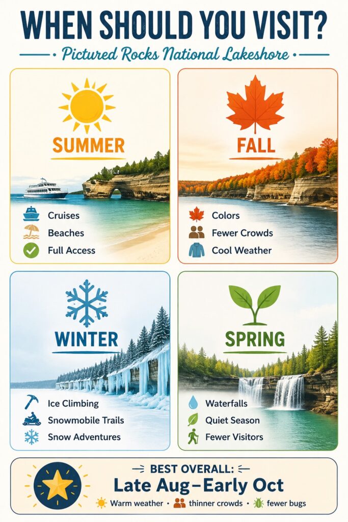
Summer (June–August)
Peak season. All facilities are open. Tours run daily and operators are staffed. Beaches are as warm as they get — water temperatures reach the mid-60s°F. Trails are at full green. The tradeoffs are real. Cruise tickets sell out weeks in advance. Parking areas fill by mid-morning on peak weekends, and black flies are brutal through June. Late August is the best summer window: warm days with thinner crowds and no insects.
Fall (September–October)
The hardwood forests along the trails turn in late September and peak in early October. Crowds fall after Labor Day. The cruise season runs through mid-October. Insects are gone. Temperatures run 40s–60s°F with cold nights. Many experienced UP visitors consider September and early October the best weeks of the year at Pictured Rocks.
Winter (November–March)
The park stays open year-round and transforms. Ice climbing, cross-country skiing, snowshoeing, and snowmobiling replace the summer activity roster. The lake sometimes freezes along the shoreline in cold winters, creating ice formations at the cliff bases that look unlike anything in the summer park. Most tour operators are closed. Some roads are unplowed — check conditions before driving in.
Spring (April–May)
Mud season on most trails, cold and unpredictable weather — but the waterfalls run at full volume from snowmelt. Very few other visitors. The cruise season opens in early May. Some facilities may not yet be open. If solitude matters more than comfort, spring delivers it.
Where To Stay Near Pictured Rocks National Lakeshore
Most lodging is concentrated in and around Munising, 10–15 minutes from the western park entrance. Grand Marais, on the eastern end, has very limited lodging but puts you closer to Grand Sable Dunes and Twelvemile Beach.
Comfort Inn & Suites Lakefront (Munising)
The closest full-service hotel to the western park entrance — about 8 minutes away and one mile from downtown Munising. Lake Superior views, fitness center, microwave and refrigerator in rooms. Some lake-view units available.
- Pet policy: Not pet-friendly — confirm before booking.
- Accessibility: Confirm accessible room availability when booking.
- Seasonal: Open year-round.
Holiday Inn Express Munising Lakeview
Lakefront views of Munising Bay and Grand Island. One- and two-bedroom suites, accessible rooms, free breakfast. Indoor pool.
- Pet policy: Confirm current policy directly with property.
- Accessibility: Accessible rooms available — confirm specific features when booking.
- Seasonal: Open year-round.
Munising Motel
Budget-friendly, pet-friendly, renovated top to bottom, in downtown Munising. Rooms include Wi-Fi, an in-room refrigerator, microwave, and Keurig coffee maker. Walking distance to Cap’n Ron’s and VanLandschoot’s.
- Pet policy: Pet-friendly — confirm current pet fee and weight limits when booking.
- Seasonal: Confirm winter availability.
Bay Furnace Campground (National Forest, Christmas MI)
Beachfront National Forest campground on Lake Superior, 20 minutes west of Munising. Reservations at recreation.gov.
Pet policy: Leashed pets permitted. Service animals permitted throughout.
Vacation Rentals Near Pictured Rocks
Cabins and lake houses throughout the Munising area offer more flexibility for larger groups and extended stays — search VRBO and Airbnb for current inventory. Book 3–6 months in advance for summer weekends.
Sample 3-Day Pictured Rocks Itinerary
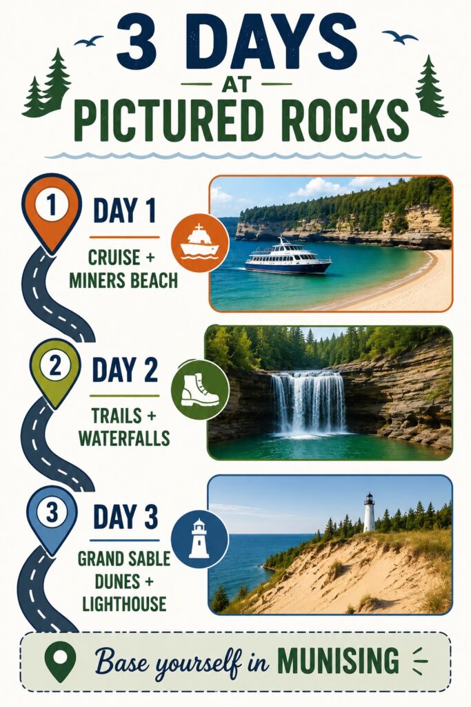
Day 1: Water and the Western Cliffs
- Morning: Arrive in Munising, buy your entrance pass online in advance at recreation.gov. Drive to Miners Castle Overlook — 10 minutes from town, paved path, the fastest way to understand the scale of what you are looking at.
- Midday: Walk down to Miners Beach. Lunch at Cap’n Ron’s Fish & Chips or VanLandschoot & Sons.
- Afternoon: Spray Falls Cruise (3 hours — pre-book weeks in advance for peak season).
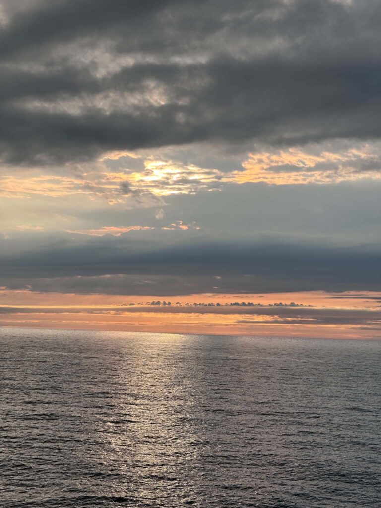
- Evening: Walk Sand Point Beach for sunset. Dinner in Munising.
Day 2: Trails and Waterfalls
- Early morning: Miners Falls trail (1.2 miles round-trip, 45 minutes). Arrive early — the parking lot fills by 9 a.m. on summer weekends.
- Mid-morning: Chapel Loop hike. Do the full 10 miles if you have the legs; shorten to Chapel Falls and back (4 miles) if you have kids or limited time.
- Late afternoon: Pasties at Muldoon’s.
- Evening: Twelvemile Beach for stargazing. Check aurora forecast before dark.
Day 3: The East End
- Morning: Drive H-58 east toward Grand Marais — this is one of the great drives in the Upper Peninsula. Stop at Twelvemile Beach overlook.
- Midday: Log Slide Overlook — short paved walk, enormous view over Grand Sable Dunes. Then Sable Falls (168 steps down, short walk to the base of a 75-foot waterfall).
- Afternoon: Au Sable Lighthouse trail (3 miles round-trip from Hurricane River Campground) if time and energy allow. Or drive into Grand Marais for lunch.
- Return: Head west on H-58 — stop at any overlooks you missed on the way out.
What To Pack for Pictured Rocks
The weather shifts fast, especially on the water. Pack layers regardless of the calendar date.
- Hiking boots or trail shoes — essential for anything beyond the paved overlooks
- Stability poles — valuable on rocky and root-covered trail sections; Miners Falls and Chapel Loop both benefit from them
- Rain jacket — afternoon storms are common in summer and lake weather is unpredictable
- Warm fleece or insulating layer — even July evenings on the water are cold
- Bug spray — black flies peak in June and mosquitoes run through August
- Dry bag — for kayaking and beach days; keeps your phone and camera dry
- Sunscreen and sun hat — open water reflects UV hard
- Water bottle — fill at the visitor center; no water sources on most trails
- America the Beautiful pass — $80 annual, covers all federal recreation sites, includes the Access Pass option for visitors with permanent disabilities
For winter visits add: insulated waterproof boots, hand warmers, balaclava, and microspike traction devices for icy trail sections.
Pictured Rocks FAQs
Current fees (effective January 2024): $25 per vehicle (7-day pass), $15 per person arriving on foot, bicycle, or by boat, $20 per motorcycle, $45 for an annual Pictured Rocks pass. Children 15 and under are free. The America the Beautiful annual pass ($80) covers entrance to all federal recreation sites and is worth buying if you visit more than one national park in a year. The free Access Pass for visitors with permanent disabilities covers the same sites.
Yes — it is one of the most distinctive landscapes in the Midwest and it earns every superlative. Plan at least two full days to see the cliffs from the water and do at least one trail. Three days gives you the eastern end of the park and still leaves time to sit on a beach.
Late August through early October gives you good weather with manageable crowds and no insects — and fall color starting to build along the trails. July is peak season with the most tour availability but the most crowds. Winter transforms the park and is worth it if you come prepared.
Two full days is the minimum to do it justice — one day on the water, one day hiking. Three days is better, and lets you see the eastern end of the park around Grand Sable Dunes and Grand Marais, which the majority of visitors skip entirely.
The park sits between Munising (western entrance) and Grand Marais (eastern entrance) on the south shore of Lake Superior. From the west, take M-28 or M-94 to Munising. From the east, take M-77 to Grand Marais. The nearest airports are Marquette (45 minutes west) and Sault Ste. Marie (2 hours east) — both require a rental car. A hiker shuttle runs in summer between park trailheads; check nps.gov/piro for the current schedule.
Yes, with limits. Leashed dogs are welcome at Sand Point Beach, Miners Beach, Twelvemile Beach, Lake Superior Overlook Beach, Hurricane River Beach, and Sable Falls Beach. Dogs are not permitted on most hiking trails, including the Chapel Loop and Sand Point Marsh Trail. They are not allowed on cruise boats, though Pictured Rocks Cruises provides a kennel service at the dock. Service animals trained to perform specific disability-related tasks are welcome throughout the park — on all trails, beaches, and cruise vessels — regardless of pet restrictions. Staff may ask only two questions: is it a service animal, and what task does it perform. No certification required. Emotional support animals follow the same rules as pets.
With caveats. The Sand Point Marsh Trail is the only wheelchair-accessible trail. Miners Castle Overlook has a paved path to two viewing platforms. Log Slide Overlook has a short paved path to a dramatic viewpoint. The cruise is the most accessible way to see the cliffs — call 906-387-2379 to discuss boarding and vessel configurations. A free beach wheelchair is available at Sand Point Beach in summer with a Mobi mat to the water. Accessible campsites exist at Twelvemile Beach and Hurricane River. Call 906-387-3700 before your trip to discuss current conditions and available accommodations.
See the Quick Facts section at the top of this article for current 2026 fees. Note that passes cannot be purchased at the park headquarters — buy online at recreation.gov in advance, or from the Munising Falls Visitor Center (cashless), South Bay Outfitters in Munising, or Grand Marais Outfitters.
Yes. The National Park Service designates a small number of fee-free days each year that apply to Pictured Rocks. Dates change annually — check nps.gov/planyourvisit/fee-free-parks.htm for the current year’s schedule.
You can, but prepare for cold water. Lake Superior rarely warms above the mid-60s°F even at peak summer. The beaches are safe for swimming with no significant currents at the main beach areas. Children and anyone not acclimatized to cold water should wade carefully.
Final Thoughts on Things To Do in Pictured Rocks
Pictured Rocks earns its reputation as one of the finest destinations in the Upper Peninsula — and in the whole Midwest. I have been back multiple times and found something new each visit: different light on the cliffs, a trail section I had not hiked, a waterfall running stronger after a week of rain.
Start with the cruise if it is your first visit. It gives you the full scope of the park and shows you exactly where you want to spend your time on foot. Add at least one long trail day and one evening on the beach. Then find a dark shoreline and watch the sky.
For more help planning your Upper Peninsula trip, see our guides to Where to Stay Near Pictured Rocks, Pictured Rocks Waterfalls, Tahquamenon Falls Things To Do, and the Road Trip Around Lake Michigan.
More of Wandering Michigan Wisconsin
Road Trip Around Lake Michigan: The Ultimate Itinerary
Visiting Mackinac Island In October: Everything You Need To Know
23 BEST Things To Do In Fond du Lac Wisconsin 2025
17 Tahquamenon Falls Things To Do: The Ultimate Guide 2025
15 Best Lake Michigan Beach Towns to Visit in 2025
Chapel Falls Pictured Rocks: Visiting Guide 2025
17 Breathtaking Pictured Rocks Waterfalls